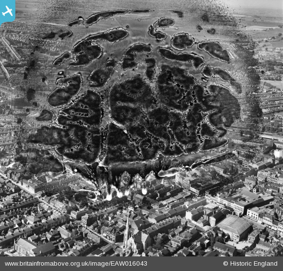
EAW016043 ENGLAND (1948). George Street, Stuart Street and the town, Luton, from the south, 1948. This image has been produced from a damaged negative.
© Hawlfraint cyfranwyr OpenStreetMap a thrwyddedwyd gan yr OpenStreetMap Foundation. 2025. Trwyddedir y gartograffeg fel CC BY-SA.
Delweddau cyfagos (13)
Manylion
| Pennawd | [EAW016043] George Street, Stuart Street and the town, Luton, from the south, 1948. This image has been produced from a damaged negative. |
| Cyfeirnod | EAW016043 |
| Dyddiad | 19-May-1948 |
| Dolen | |
| Enw lle | LUTON |
| Plwyf | |
| Ardal | |
| Gwlad | ENGLAND |
| Dwyreiniad / Gogleddiad | 508977, 221332 |
| Hydred / Lledred | -0.4166327549455, 51.879451095291 |
| Cyfeirnod Grid Cenedlaethol | TL090213 |


![[EAW016043] George Street, Stuart Street and the town, Luton, from the south, 1948. This image has been produced from a damaged negative.](http://britainfromabove.org.uk/sites/all/libraries/aerofilms-images/public/100x100/EAW/016/EAW016043.jpg)
![[EPW053988] The Town Hall, George Street and the town centre, Luton, 1937](http://britainfromabove.org.uk/sites/all/libraries/aerofilms-images/public/100x100/EPW/053/EPW053988.jpg)
![[EPW026490] The George Street War Memorial and environs, Luton, 1929](http://britainfromabove.org.uk/sites/all/libraries/aerofilms-images/public/100x100/EPW/026/EPW026490.jpg)
![[EPW026486] The George Street War Memorial and environs, Luton, 1929](http://britainfromabove.org.uk/sites/all/libraries/aerofilms-images/public/100x100/EPW/026/EPW026486.jpg)
![[EPW019217] The town centre, Luton, 1927](http://britainfromabove.org.uk/sites/all/libraries/aerofilms-images/public/100x100/EPW/019/EPW019217.jpg)
![[EPW053991] The Town Hall, George Street and the town centre, Luton, 1937](http://britainfromabove.org.uk/sites/all/libraries/aerofilms-images/public/100x100/EPW/053/EPW053991.jpg)
![[EAW016044] The town, luton, from the south-west, 1948. This image has been produced from a damaged negative.](http://britainfromabove.org.uk/sites/all/libraries/aerofilms-images/public/100x100/EAW/016/EAW016044.jpg)
![[EAW016045] The Town Hall, George Street and environs, Luton, 1948. This image has been produced from a damaged negative.](http://britainfromabove.org.uk/sites/all/libraries/aerofilms-images/public/100x100/EAW/016/EAW016045.jpg)
![[EAW016046] George Street and the town centre, Luton, 1948. This image has been produced from a damaged negative.](http://britainfromabove.org.uk/sites/all/libraries/aerofilms-images/public/100x100/EAW/016/EAW016046.jpg)
![[EPW046834] Luton Railway Station and the town centre, Luton, 1935](http://britainfromabove.org.uk/sites/all/libraries/aerofilms-images/public/100x100/EPW/046/EPW046834.jpg)
![[EPW019220] King Street Congregational Church and the town, Luton, 1927](http://britainfromabove.org.uk/sites/all/libraries/aerofilms-images/public/100x100/EPW/019/EPW019220.jpg)
![[EPW019227] Chapel Street and the Town Centre, Luton, 1927](http://britainfromabove.org.uk/sites/all/libraries/aerofilms-images/public/100x100/EPW/019/EPW019227.jpg)
![[EPW026492] The Midland Road (London Midland and Scottish Railway) and Bute Street (London and North Eastern Railway) railway stations, Luton, 1929](http://britainfromabove.org.uk/sites/all/libraries/aerofilms-images/public/100x100/EPW/026/EPW026492.jpg)
