EPW000719 ENGLAND (1920). South Street and the pier, Worthing, 1920. This image has been produced from a copy negative.
© Hawlfraint cyfranwyr OpenStreetMap a thrwyddedwyd gan yr OpenStreetMap Foundation. 2025. Trwyddedir y gartograffeg fel CC BY-SA.
Delweddau cyfagos (21)
Manylion
| Pennawd | [EPW000719] South Street and the pier, Worthing, 1920. This image has been produced from a copy negative. |
| Cyfeirnod | EPW000719 |
| Dyddiad | April-1920 |
| Dolen | |
| Enw lle | WORTHING |
| Plwyf | |
| Ardal | |
| Gwlad | ENGLAND |
| Dwyreiniad / Gogleddiad | 514943, 102471 |
| Hydred / Lledred | -0.36838588466013, 50.809810100528 |
| Cyfeirnod Grid Cenedlaethol | TQ149025 |
Pinnau
 Alan McFaden |
Wednesday 8th of October 2014 09:32:37 AM | |
 Alan McFaden |
Wednesday 8th of October 2014 09:32:03 AM |
Cyfraniadau Grŵp
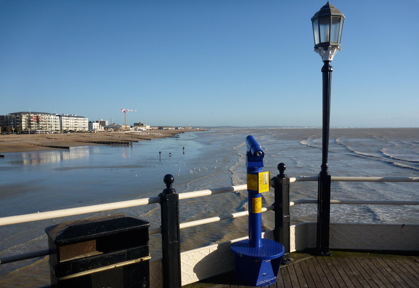
 View East from the Pier |
 Alan McFaden |
Wednesday 8th of October 2014 09:33:52 AM |
 View West from the Pier |
 Alan McFaden |
Wednesday 8th of October 2014 09:33:17 AM |


![[EPW000719] South Street and the pier, Worthing, 1920. This image has been produced from a copy negative.](http://britainfromabove.org.uk/sites/all/libraries/aerofilms-images/public/100x100/EPW/000/EPW000719.jpg)
![[EPW054071] The Pier Pavilion and the town, Worthing, from the south-east, 1937](http://britainfromabove.org.uk/sites/all/libraries/aerofilms-images/public/100x100/EPW/054/EPW054071.jpg)
![[EPW000764] The Town Hall, Worthing, 1920](http://britainfromabove.org.uk/sites/all/libraries/aerofilms-images/public/100x100/EPW/000/EPW000764.jpg)
![[EPW000615] South Street, Worthing, 1920](http://britainfromabove.org.uk/sites/all/libraries/aerofilms-images/public/100x100/EPW/000/EPW000615.jpg)
![[EPW011532] Marine Parade, Worthing, 1924](http://britainfromabove.org.uk/sites/all/libraries/aerofilms-images/public/100x100/EPW/011/EPW011532.jpg)
![[EPW017741] The pier pavilion and seafront, Worthing, 1927](http://britainfromabove.org.uk/sites/all/libraries/aerofilms-images/public/100x100/EPW/017/EPW017741.jpg)
![[EPW017739] The pier pavilion and seafront, Worthing, 1927](http://britainfromabove.org.uk/sites/all/libraries/aerofilms-images/public/100x100/EPW/017/EPW017739.jpg)
![[EPW039494] Marine Parade, the town and the seafront, Worthing, from the south-west, 1932](http://britainfromabove.org.uk/sites/all/libraries/aerofilms-images/public/100x100/EPW/039/EPW039494.jpg)
![[EPW000725] The Pier, Worthing, 1920](http://britainfromabove.org.uk/sites/all/libraries/aerofilms-images/public/100x100/EPW/000/EPW000725.jpg)
![[EPW016903] Steyne Gardens, Worthing, 1926](http://britainfromabove.org.uk/sites/all/libraries/aerofilms-images/public/100x100/EPW/016/EPW016903.jpg)
![[EPW042996] Marine Parade and environs, Worthing, 1933](http://britainfromabove.org.uk/sites/all/libraries/aerofilms-images/public/100x100/EPW/042/EPW042996.jpg)
![[EPW018752] The pier, bandstand and town, Worthing, 1927](http://britainfromabove.org.uk/sites/all/libraries/aerofilms-images/public/100x100/EPW/018/EPW018752.jpg)
![[EPW039493] The Marine Parade Band Stand, the Pier Pavilion and the seafront, Worthing, 1932](http://britainfromabove.org.uk/sites/all/libraries/aerofilms-images/public/100x100/EPW/039/EPW039493.jpg)
![[EAW022245] The Bandstand (The Lido) and the town, Worthing, from the south, 1949](http://britainfromabove.org.uk/sites/all/libraries/aerofilms-images/public/100x100/EAW/022/EAW022245.jpg)
![[EAW053164] The Bandstand and the town, Worthing, from the south-east, 1954](http://britainfromabove.org.uk/sites/all/libraries/aerofilms-images/public/100x100/EAW/053/EAW053164.jpg)
![[EPW000753] The Pier, Worthing, 1920](http://britainfromabove.org.uk/sites/all/libraries/aerofilms-images/public/100x100/EPW/000/EPW000753.jpg)
![[EAW022243] The Pier and the seafront, Worthing, from the north-east, 1949](http://britainfromabove.org.uk/sites/all/libraries/aerofilms-images/public/100x100/EAW/022/EAW022243.jpg)
![[EPW018751] The pier, bandstand and town, Worthing, from the south-east, 1927](http://britainfromabove.org.uk/sites/all/libraries/aerofilms-images/public/100x100/EPW/018/EPW018751.jpg)
![[EAW022746] The pier and seafront, Worthing, from the east, 1949](http://britainfromabove.org.uk/sites/all/libraries/aerofilms-images/public/100x100/EAW/022/EAW022746.jpg)
![[EAW053165] The Bandstand and the town, Worthing, from the south 1954](http://britainfromabove.org.uk/sites/all/libraries/aerofilms-images/public/100x100/EAW/053/EAW053165.jpg)
![[EPW017743] The bandstand and seafront, Worthing, from the south, 1927](http://britainfromabove.org.uk/sites/all/libraries/aerofilms-images/public/100x100/EPW/017/EPW017743.jpg)

