
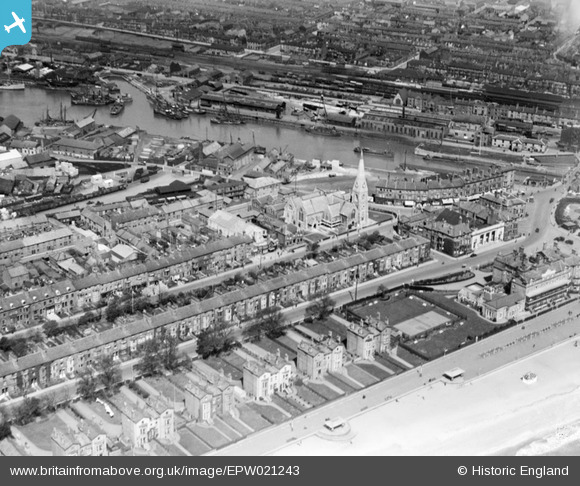
EPW021243 ENGLAND (1928). St John's Church and the Inner Harbour, Lowestoft, 1928
© Hawlfraint cyfranwyr OpenStreetMap a thrwyddedwyd gan yr OpenStreetMap Foundation. 2025. Trwyddedir y gartograffeg fel CC BY-SA.
Delweddau cyfagos (10)
EPW021243

EAW052981

EPW021242

EAW047639

EAW025475

EAW052982

EAW031906

EAW052979

EAW031908

EPW001894

Manylion
| Pennawd | [EPW021243] St John's Church and the Inner Harbour, Lowestoft, 1928 |
| Cyfeirnod | EPW021243 |
| Dyddiad | May-1928 |
| Dolen | |
| Enw lle | LOWESTOFT |
| Plwyf | |
| Ardal | |
| Gwlad | ENGLAND |
| Dwyreiniad / Gogleddiad | 654634, 292536 |
| Hydred / Lledred | 1.7496419121815, 52.470882524532 |
| Cyfeirnod Grid Cenedlaethol | TM546925 |
Pinnau
 Eddy |
Thursday 20th of August 2020 02:49:28 PM | |
Eddy |
Thursday 20th of August 2020 02:48:53 PM | |
Eddy |
Thursday 20th of August 2020 02:46:53 PM | |
Eddy |
Thursday 20th of August 2020 02:45:53 PM | |
Eddy |
Thursday 20th of August 2020 02:44:23 PM | |
Eddy |
Thursday 20th of August 2020 02:43:20 PM | |
Eddy |
Thursday 20th of August 2020 02:42:27 PM | |
Eddy |
Wednesday 19th of August 2020 02:28:30 PM | |
Eddy |
Wednesday 19th of August 2020 02:27:17 PM | |
Eddy |
Wednesday 19th of August 2020 02:26:34 PM | |
Brightonboy |
Saturday 4th of January 2014 10:09:52 PM | |
Brightonboy |
Thursday 3rd of October 2013 08:57:44 PM |