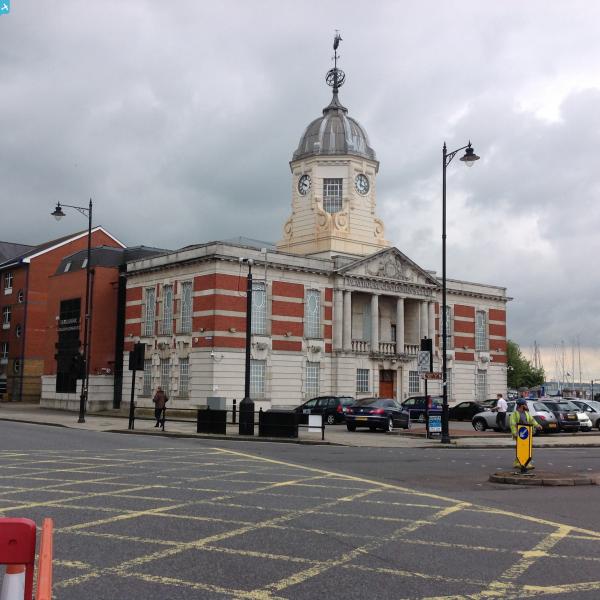
EAW001358 ENGLAND (1946). The Docks, Southampton, 1946

© Copyright OpenStreetMap contributors and licensed by the OpenStreetMap Foundation. 2025. Cartography is licensed as CC BY-SA.
Nearby Images (28)
EAW001358

EPW020452

EPW041073

EPW037430

EAW020647
 Marine Airport and the surrounding docks, Southampton, 1948")
EAW001355

EAW020645
 Marine Airport and the surrounding docks, Southampton, 1948")
EAW008812

EAW020646
 Marine Airport and the surrounding docks, Southampton, 1948")
EAW189228

EAW008802

EPW020445

EPW032342

EPW041039
 formation flying over Kingswood, Sanderstead, from the east, 1933")
EPW041069

EPW041066

EAW001361

EPW020455

EAW015267

EAW015268

EPW041072

EPW041067

EAW008796

EAW001347

EAW001375

EAW008795

EAW008791

EAW008798

Details
| Title | [EAW001358] The Docks, Southampton, 1946 |
| Reference | EAW001358 |
| Date | 28-June-1946 |
| Link | |
| Place name | SOUTHAMPTON |
| Parish | |
| District | |
| Country | ENGLAND |
| Easting / Northing | 442048, 110599 |
| Longitude / Latitude | -1.4020833715233, 50.892787530172 |
| National Grid Reference | SU420106 |
Pins
 hrothery8 |
Sunday 7th of June 2020 03:04:52 PM | |
Brightonboy |
Tuesday 31st of March 2015 07:55:24 PM | |
michael hooper |
Tuesday 31st of March 2015 06:39:03 PM | |
 |
 Class31 |
Thursday 29th of May 2014 07:44:20 PM |
Class31 |
Thursday 29th of May 2014 07:43:13 PM | |
Class31 |
Thursday 29th of May 2014 07:41:45 PM |