
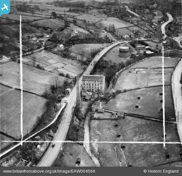
EAW004566 ENGLAND (1947). Holme Bottom Mill on Huddersfield Road, New Mill, 1947. This image was marked by Aerofilms Ltd for photo editing.
© Copyright OpenStreetMap contributors and licensed by the OpenStreetMap Foundation. 2025. Cartography is licensed as CC BY-SA.
Nearby Images (7)
EAW004566

EAW004568

EAW004569

EAW004571

EAW004567

EAW004572

EAW004570

Details
| Title | [EAW004566] Holme Bottom Mill on Huddersfield Road, New Mill, 1947. This image was marked by Aerofilms Ltd for photo editing. |
| Reference | EAW004566 |
| Date | 17-April-1947 |
| Link | |
| Place name | NEW MILL |
| Parish | HOLME VALLEY |
| District | |
| Country | ENGLAND |
| Easting / Northing | 416202, 409105 |
| Longitude / Latitude | -1.7552722529715, 53.578050218385 |
| National Grid Reference | SE162091 |
Pins
 totoro |
Tuesday 29th of July 2014 06:50:47 PM | |
totoro |
Tuesday 29th of July 2014 06:43:45 PM | |
totoro |
Tuesday 29th of July 2014 06:41:11 PM | |
totoro |
Tuesday 29th of July 2014 06:40:16 PM | |
totoro |
Tuesday 29th of July 2014 06:38:08 PM | |
totoro |
Tuesday 29th of July 2014 06:36:27 PM |