
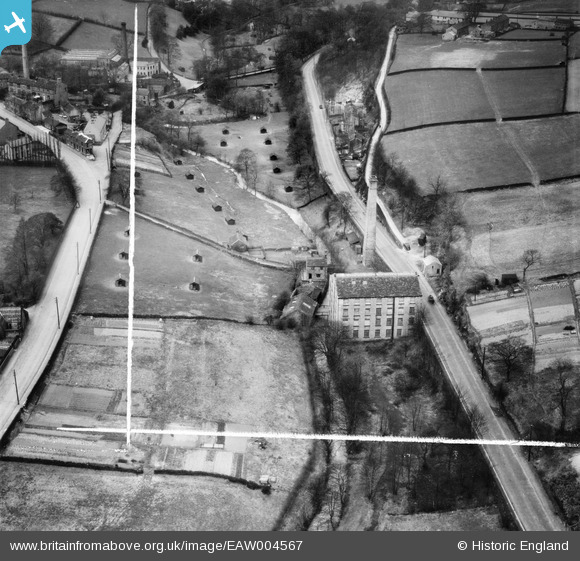
EAW004567 ENGLAND (1947). Holme Bottom Mill on Huddersfield Road, New Mill, 1947. This image was marked by Aerofilms Ltd for photo editing.
© Copyright OpenStreetMap contributors and licensed by the OpenStreetMap Foundation. 2025. Cartography is licensed as CC BY-SA.
Nearby Images (7)
EAW004567

EAW004571

EAW004568

EAW004569

EAW004566

EAW004570

EAW004572

Details
| Title | [EAW004567] Holme Bottom Mill on Huddersfield Road, New Mill, 1947. This image was marked by Aerofilms Ltd for photo editing. |
| Reference | EAW004567 |
| Date | 17-April-1947 |
| Link | |
| Place name | NEW MILL |
| Parish | HOLME VALLEY |
| District | |
| Country | ENGLAND |
| Easting / Northing | 416156, 409125 |
| Longitude / Latitude | -1.755966030855, 53.578231422832 |
| National Grid Reference | SE162091 |
Pins
 totoro |
Tuesday 29th of July 2014 06:54:13 PM | |
totoro |
Tuesday 29th of July 2014 06:49:54 PM | |
totoro |
Tuesday 29th of July 2014 06:46:57 PM | |
totoro |
Tuesday 29th of July 2014 06:46:28 PM | |
totoro |
Tuesday 29th of July 2014 06:42:01 PM | |
totoro |
Tuesday 29th of July 2014 06:39:12 PM | |
totoro |
Tuesday 29th of July 2014 06:37:09 PM | |
totoro |
Tuesday 29th of July 2014 06:35:26 PM |