
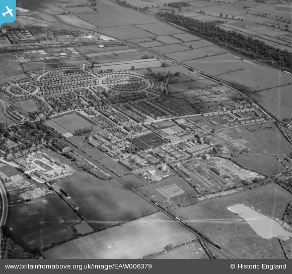
EAW006379 ENGLAND (1947). The Ericsson Telephone Works and the surrounding residential area, Rylands, 1947. This image was marked by Aerofilms Ltd for photo editing.
© Copyright OpenStreetMap contributors and licensed by the OpenStreetMap Foundation. 2025. Cartography is licensed as CC BY-SA.
Nearby Images (26)
EAW006379

EAW006380

EPW053167

EPW053168

EAW006383

EAW012085

EPW053169

EAW006381

EPW053164

EPW053165

EPW052424

EAW004242

EAW006376

EAW004244

EPW052431

EAW004249

EPW053166

EAW006382

EAW005004

EAW012086

EAW006377

EAW004247

EAW006378

EAW005005

EAW004248

EAW012084

Details
| Title | [EAW006379] The Ericsson Telephone Works and the surrounding residential area, Rylands, 1947. This image was marked by Aerofilms Ltd for photo editing. |
| Reference | EAW006379 |
| Date | 27-May-1947 |
| Link | |
| Place name | RYLANDS |
| Parish | |
| District | |
| Country | ENGLAND |
| Easting / Northing | 453412, 335861 |
| Longitude / Latitude | -1.2055526284843, 52.917192696268 |
| National Grid Reference | SK534359 |
Pins
Be the first to add a comment to this image!