
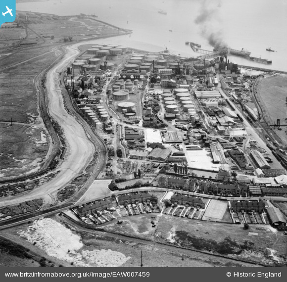
EAW007459 ENGLAND (1947). Part of the Coryton Oil Refinery complex, Coryton, 1947
© Copyright OpenStreetMap contributors and licensed by the OpenStreetMap Foundation. 2025. Cartography is licensed as CC BY-SA.
Nearby Images (7)
EAW007459

EAW007454

EAW007455

EAW007463

EAW007458

EAW021801

EAW003536

Details
| Title | [EAW007459] Part of the Coryton Oil Refinery complex, Coryton, 1947 |
| Reference | EAW007459 |
| Date | 25-June-1947 |
| Link | |
| Place name | CORYTON |
| Parish | |
| District | |
| Country | ENGLAND |
| Easting / Northing | 573995, 182004 |
| Longitude / Latitude | 0.50762254275718, 51.509652690823 |
| National Grid Reference | TQ740820 |
Pins
Be the first to add a comment to this image!