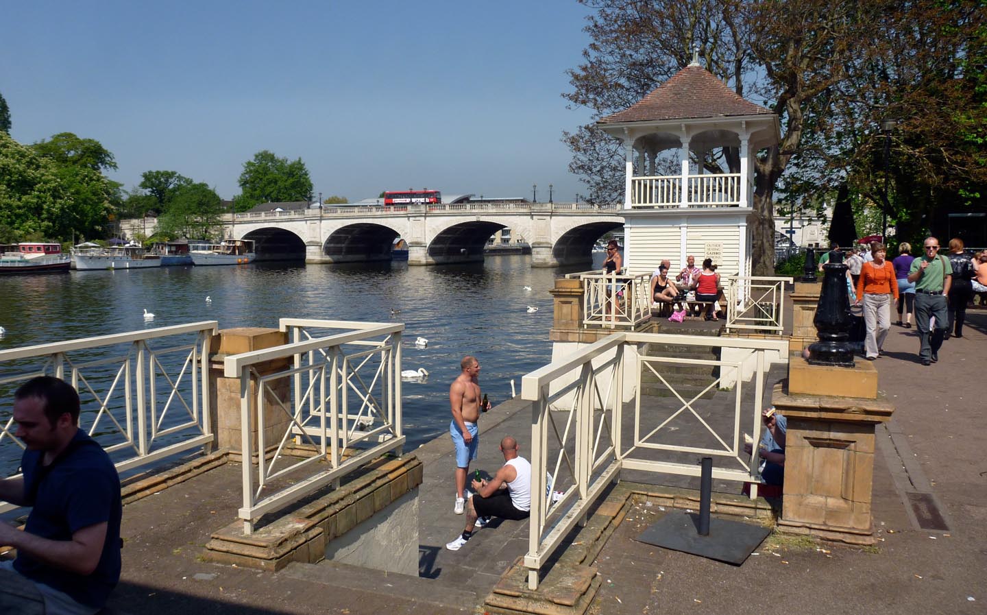
EAW008244 ENGLAND (1947). Kingston Bridge, Kingston Upon Thames, 1947
© Copyright OpenStreetMap contributors and licensed by the OpenStreetMap Foundation. 2025. Cartography is licensed as CC BY-SA.
Nearby Images (19)
Details
| Title | [EAW008244] Kingston Bridge, Kingston Upon Thames, 1947 |
| Reference | EAW008244 |
| Date | 16-July-1947 |
| Link | |
| Place name | KINGSTON UPON THAMES |
| Parish | |
| District | |
| Country | ENGLAND |
| Easting / Northing | 517717, 169359 |
| Longitude / Latitude | -0.30719630237452, 51.410524477781 |
| National Grid Reference | TQ177694 |
Pins
 UPONTHAMES |
Monday 6th of June 2022 06:54:53 PM | |
 redmist |
Thursday 25th of November 2021 05:07:23 PM | |
 Sparky |
Sunday 1st of October 2017 09:15:43 PM | |
 Sparky |
Sunday 1st of October 2017 09:15:21 PM | |
 Pip |
Thursday 2nd of January 2014 12:39:45 AM | |
 Pip |
Thursday 2nd of January 2014 12:38:30 AM | |
 MB |
Friday 15th of November 2013 10:28:49 AM | |
 MB |
Friday 15th of November 2013 10:28:06 AM | |
 MB |
Friday 15th of November 2013 10:26:05 AM | |
 MB |
Friday 15th of November 2013 10:11:47 AM | |
 MB |
Friday 15th of November 2013 10:11:13 AM | |
 MB |
Friday 15th of November 2013 10:10:28 AM | |
 MB |
Friday 15th of November 2013 10:09:47 AM |
User Comment Contributions
 Kingston Bridge |
 Alan McFaden |
Wednesday 19th of November 2014 07:01:44 PM |


![[EAW008244] Kingston Bridge, Kingston Upon Thames, 1947](http://britainfromabove.org.uk/sites/all/libraries/aerofilms-images/public/100x100/EAW/008/EAW008244.jpg)
![[EPW022858] Kingston Bridge, Kingston upon Thames, 1928](http://britainfromabove.org.uk/sites/all/libraries/aerofilms-images/public/100x100/EPW/022/EPW022858.jpg)
![[EPW022855] Kingston Bridge and the town, Kingston upon Thames, 1928](http://britainfromabove.org.uk/sites/all/libraries/aerofilms-images/public/100x100/EPW/022/EPW022855.jpg)
![[EPW022856] Kingston Bridge and the riverside, Kingston upon Thames, 1928](http://britainfromabove.org.uk/sites/all/libraries/aerofilms-images/public/100x100/EPW/022/EPW022856.jpg)
![[EAW042763] Kingston Bridge and environs, Kingston Upon Thames, 1952](http://britainfromabove.org.uk/sites/all/libraries/aerofilms-images/public/100x100/EAW/042/EAW042763.jpg)
![[EAW042762] Kingston Bridge, Hampton Wick, 1952](http://britainfromabove.org.uk/sites/all/libraries/aerofilms-images/public/100x100/EAW/042/EAW042762.jpg)
![[EPW001723] Kingston upon Thames and Kingston Bridges, Kingston upon Thames, 1920](http://britainfromabove.org.uk/sites/all/libraries/aerofilms-images/public/100x100/EPW/001/EPW001723.jpg)
![[EPW001722] Kingston Bridge, Kingston upon Thames, 1920](http://britainfromabove.org.uk/sites/all/libraries/aerofilms-images/public/100x100/EPW/001/EPW001722.jpg)
![[EPW001721] Kingston Bridge and Railway Bridge, Kingston upon Thames, 1920](http://britainfromabove.org.uk/sites/all/libraries/aerofilms-images/public/100x100/EPW/001/EPW001721.jpg)
![[EPW001726] Kingston upon Thames and Kingston Bridge, Kingston upon Thames, 1920](http://britainfromabove.org.uk/sites/all/libraries/aerofilms-images/public/100x100/EPW/001/EPW001726.jpg)
![[EPW008868] The riverside south of Kingston Bridge, Kingston upon Thames, 1923](http://britainfromabove.org.uk/sites/all/libraries/aerofilms-images/public/100x100/EPW/008/EPW008868.jpg)
![[EPW018087] Kingston Bridge and the High Street, Hampton Wick, 1927](http://britainfromabove.org.uk/sites/all/libraries/aerofilms-images/public/100x100/EPW/018/EPW018087.jpg)
![[EPW001724] Kingston upon Thames and Kingston Bridges, Kingston upon Thames, 1920](http://britainfromabove.org.uk/sites/all/libraries/aerofilms-images/public/100x100/EPW/001/EPW001724.jpg)
![[EPW011002] All Saints' Church, Kingston Bridge and environs, Kingston Upon Thames, 1924. This image has been produced from a print.](http://britainfromabove.org.uk/sites/all/libraries/aerofilms-images/public/100x100/EPW/011/EPW011002.jpg)
![[EAW042764] All Saints' Church and the Market Place, Kingston Upon Thames, 1952](http://britainfromabove.org.uk/sites/all/libraries/aerofilms-images/public/100x100/EAW/042/EAW042764.jpg)
![[EPR000682] Clarence Street and environs including Bentall's Department Store and All Saints' Church, Kingston Upon Thames, 1935](http://britainfromabove.org.uk/sites/all/libraries/aerofilms-images/public/100x100/EPR/000/EPR000682.jpg)
![[EAW042765] All Saints' Church and the Market Place, Kingston Upon Thames, 1952](http://britainfromabove.org.uk/sites/all/libraries/aerofilms-images/public/100x100/EAW/042/EAW042765.jpg)
![[EPW018088] Kingston Bridge and the High Street, Hampton Wick, 1927](http://britainfromabove.org.uk/sites/all/libraries/aerofilms-images/public/100x100/EPW/018/EPW018088.jpg)
![[EAW022048] Bentalls Department Store on Wood Street and environs, Kingston Upon Thames, 1949. This image has been produced from a print.](http://britainfromabove.org.uk/sites/all/libraries/aerofilms-images/public/100x100/EAW/022/EAW022048.jpg)