
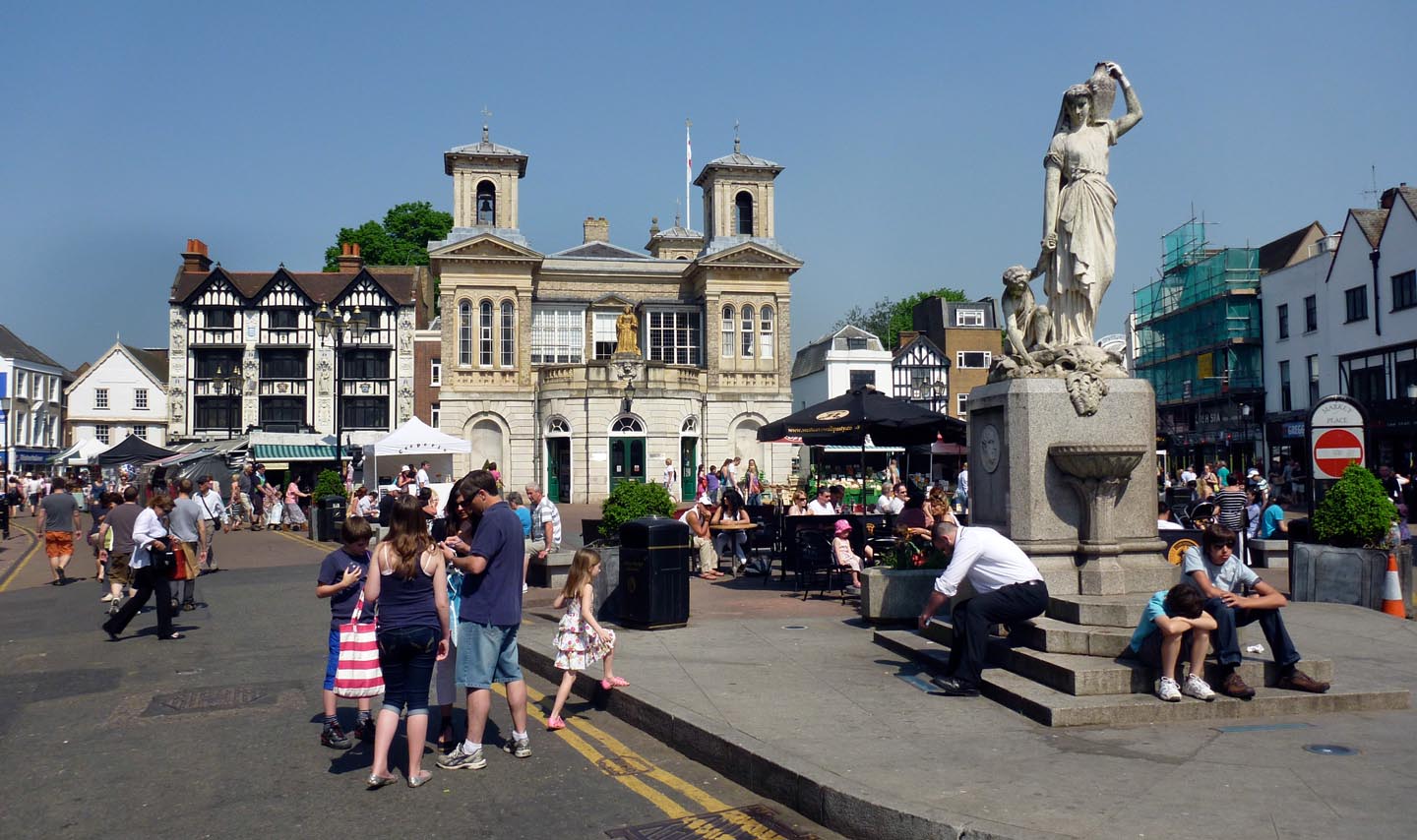
EPW022855 ENGLAND (1928). Kingston Bridge and the town, Kingston upon Thames, 1928

© Copyright OpenStreetMap contributors and licensed by the OpenStreetMap Foundation. 2025. Cartography is licensed as CC BY-SA.
Nearby Images (19)
EPW022855

EPW022858

EAW008244

EPW022856

EAW042763

EAW042762

EPW001723

EPW011002

EPW008868

EPW001722

EAW042764

EPW001721

EPR000682

EAW042765

EPW001726

EPW001724

EPW018087

EAW022048

EPW008869

Details
| Title | [EPW022855] Kingston Bridge and the town, Kingston upon Thames, 1928 |
| Reference | EPW022855 |
| Date | August-1928 |
| Link | |
| Place name | KINGSTON UPON THAMES |
| Parish | |
| District | |
| Country | ENGLAND |
| Easting / Northing | 517744, 169353 |
| Longitude / Latitude | -0.30681020955236, 51.410464938555 |
| National Grid Reference | TQ177694 |
Pins
 yes |
Friday 1st of March 2024 12:28:54 AM | |
yes |
Sunday 13th of September 2020 07:59:51 PM | |
yes |
Sunday 13th of September 2020 07:57:55 PM | |
yes |
Sunday 13th of September 2020 07:57:54 PM | |
kjc |
Monday 28th of April 2014 10:34:25 AM | |
Pip |
Friday 3rd of January 2014 01:15:27 AM | |
Pip |
Friday 3rd of January 2014 01:12:19 AM | |
Pip |
Friday 3rd of January 2014 12:49:13 AM | |
Pip |
Friday 3rd of January 2014 12:48:38 AM | |
Pip |
Thursday 2nd of January 2014 01:01:52 AM | |
Pip |
Thursday 2nd of January 2014 12:59:32 AM | |
Pip |
Thursday 2nd of January 2014 12:58:05 AM | |
Pip |
Thursday 2nd of January 2014 12:52:33 AM | |
Matt Lawson |
Friday 6th of July 2012 01:33:21 PM | |
This is Nuthalls restaurant which is now Milletts |
kjc |
Wednesday 11th of July 2012 12:42:02 PM |
User Comment Contributions
 Kingston upon Thames |
 Alan McFaden |
Thursday 4th of December 2014 09:31:25 AM |
 Kingston Bridge |
Alan McFaden |
Thursday 4th of December 2014 09:30:59 AM |