
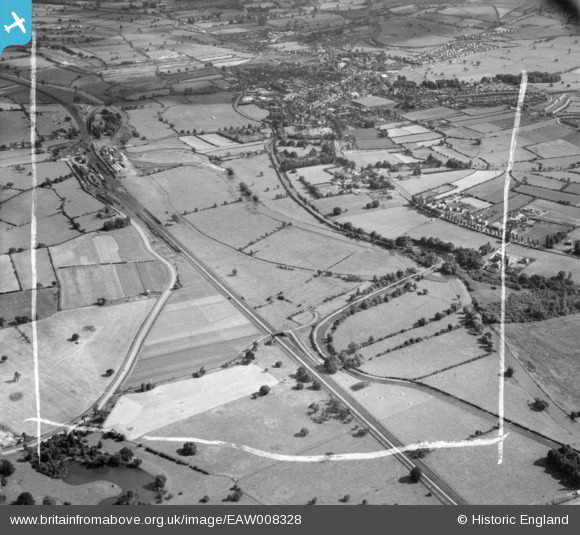
EAW008328 ENGLAND (1947). The River Trent and the Trent and Mersey Canal, Rugeley, from the north, 1947. This image was marked by Aerofilms Ltd for photo editing.
© Copyright OpenStreetMap contributors and licensed by the OpenStreetMap Foundation. 2025. Cartography is licensed as CC BY-SA.
Nearby Images (4)
EAW008328

EAW008322

EAW008327

EAW008330

Details
| Title | [EAW008328] The River Trent and the Trent and Mersey Canal, Rugeley, from the north, 1947. This image was marked by Aerofilms Ltd for photo editing. |
| Reference | EAW008328 |
| Date | 20-July-1947 |
| Link | |
| Place name | RUGELEY |
| Parish | RUGELEY |
| District | |
| Country | ENGLAND |
| Easting / Northing | 404148, 319394 |
| Longitude / Latitude | -1.9385091569395, 52.771786916724 |
| National Grid Reference | SK041194 |
Pins
 bescotbeast |
Monday 12th of May 2014 03:56:45 PM | |
bescotbeast |
Monday 12th of May 2014 03:51:21 PM | |
bescotbeast |
Monday 12th of May 2014 03:50:01 PM | |
 MB |
Thursday 14th of November 2013 08:11:51 AM | |
MB |
Thursday 14th of November 2013 08:11:20 AM | |
MB |
Thursday 14th of November 2013 08:10:42 AM | |
MB |
Thursday 14th of November 2013 08:10:19 AM | |
MB |
Thursday 14th of November 2013 08:08:59 AM | |
MB |
Thursday 14th of November 2013 08:08:12 AM | |
MB |
Thursday 14th of November 2013 08:07:49 AM |