
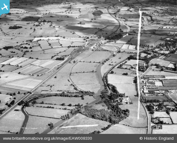
EAW008330 ENGLAND (1947). The River Trent and the Trent and Mersey Canal, Rugeley, from the north-west, 1947. This image was marked by Aerofilms Ltd for photo editing.
© Copyright OpenStreetMap contributors and licensed by the OpenStreetMap Foundation. 2025. Cartography is licensed as CC BY-SA.
Nearby Images (4)
EAW008330

EAW008329

EAW008321

EAW008328

Details
| Title | [EAW008330] The River Trent and the Trent and Mersey Canal, Rugeley, from the north-west, 1947. This image was marked by Aerofilms Ltd for photo editing. |
| Reference | EAW008330 |
| Date | 20-July-1947 |
| Link | |
| Place name | RUGELEY |
| Parish | RUGELEY |
| District | |
| Country | ENGLAND |
| Easting / Northing | 403907, 319514 |
| Longitude / Latitude | -1.942080358805, 52.772867581473 |
| National Grid Reference | SK039195 |
Pins
Be the first to add a comment to this image!