
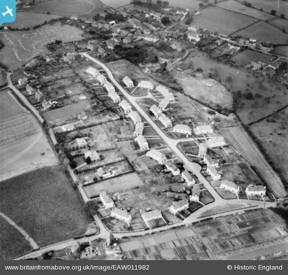
EAW011982 ENGLAND (1947). Houses along Ridgeway and Goss Lane, Nailsea, 1947
© Copyright OpenStreetMap contributors and licensed by the OpenStreetMap Foundation. 2025. Cartography is licensed as CC BY-SA.
Nearby Images (11)
EAW011982

EAW011981

EAW011978

EAW011985

EAW011984

EAW011979

EAW011980

EAW011975

EAW011977

EAW011983

EAW011976

Details
| Title | [EAW011982] Houses along Ridgeway and Goss Lane, Nailsea, 1947 |
| Reference | EAW011982 |
| Date | 1-November-1947 |
| Link | |
| Place name | NAILSEA |
| Parish | NAILSEA |
| District | |
| Country | ENGLAND |
| Easting / Northing | 346500, 170350 |
| Longitude / Latitude | -2.7696379841277, 51.429134531115 |
| National Grid Reference | ST465704 |
Pins
 Marc |
Friday 27th of November 2015 08:34:15 PM | |
Marc |
Friday 27th of November 2015 08:25:02 PM | |
Marc |
Friday 27th of November 2015 08:22:06 PM | |
Marc |
Friday 27th of November 2015 08:19:18 PM | |
Marc |
Friday 27th of November 2015 08:17:02 PM | |
Marc |
Friday 27th of November 2015 08:12:03 PM | |
Gary |
Friday 9th of May 2014 10:38:21 PM |