
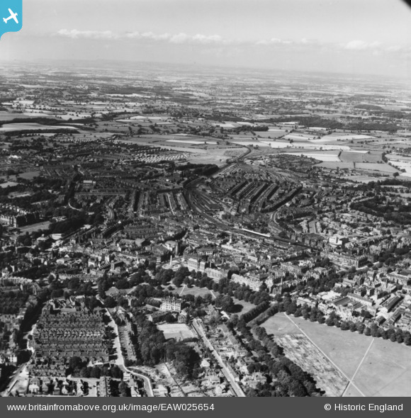
EAW025654 ENGLAND (1949). The town, Harrogate, from the south-west, 1949. This image has been produced from a print.
© Copyright OpenStreetMap contributors and licensed by the OpenStreetMap Foundation. 2025. Cartography is licensed as CC BY-SA.
Nearby Images (12)
EAW025654

EPW023553

EPW043174

EPW015799

EAW025650

EPW016250

EPW043175

EPW043176

EPW023552

EPW016246

EPW015801

EAW025655

Details
| Title | [EAW025654] The town, Harrogate, from the south-west, 1949. This image has been produced from a print. |
| Reference | EAW025654 |
| Date | 3-August-1949 |
| Link | |
| Place name | HARROGATE |
| Parish | |
| District | |
| Country | ENGLAND |
| Easting / Northing | 430076, 455096 |
| Longitude / Latitude | -1.5412264068422, 53.990839572838 |
| National Grid Reference | SE301551 |
Pins
 John W |
Friday 30th of December 2016 06:34:34 PM | |
John W |
Friday 30th of December 2016 06:33:22 PM | |
John W |
Friday 30th of December 2016 06:25:03 PM | |
John W |
Friday 30th of December 2016 06:24:34 PM |