
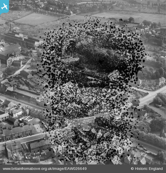
EAW026649 ENGLAND (1949). Walton Road, Bobbin Mill Lane and environs, Chesterfield, 1949. This image has been produced from a damaged negative.
© Copyright OpenStreetMap contributors and licensed by the OpenStreetMap Foundation. 2025. Cartography is licensed as CC BY-SA.
Nearby Images (3)
EAW026649

EAW026650

EAW026638

Details
| Title | [EAW026649] Walton Road, Bobbin Mill Lane and environs, Chesterfield, 1949. This image has been produced from a damaged negative. |
| Reference | EAW026649 |
| Date | 19-September-1949 |
| Link | |
| Place name | CHESTERFIELD |
| Parish | |
| District | |
| Country | ENGLAND |
| Easting / Northing | 436615, 370649 |
| Longitude / Latitude | -1.4514146452169, 53.23133395116 |
| National Grid Reference | SK366706 |
Pins
Be the first to add a comment to this image!