
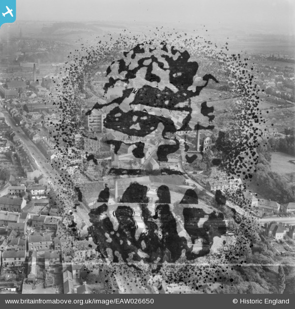
EAW026650 ENGLAND (1949). Chatsworth Road, the Robinson and Sons Ltd Walton Works and environs, Chesterfield, from the west, 1949. This image has been produced from a damaged negative.
© Copyright OpenStreetMap contributors and licensed by the OpenStreetMap Foundation. 2025. Cartography is licensed as CC BY-SA.
Nearby Images (3)
EAW026650

EAW026649

EAW026638

Details
| Title | [EAW026650] Chatsworth Road, the Robinson and Sons Ltd Walton Works and environs, Chesterfield, from the west, 1949. This image has been produced from a damaged negative. |
| Reference | EAW026650 |
| Date | 19-September-1949 |
| Link | |
| Place name | CHESTERFIELD |
| Parish | |
| District | |
| Country | ENGLAND |
| Easting / Northing | 436586, 370640 |
| Longitude / Latitude | -1.4518501501994, 53.23125504481 |
| National Grid Reference | SK366706 |
Pins
 redmist |
Sunday 2nd of August 2020 11:02:28 PM |