
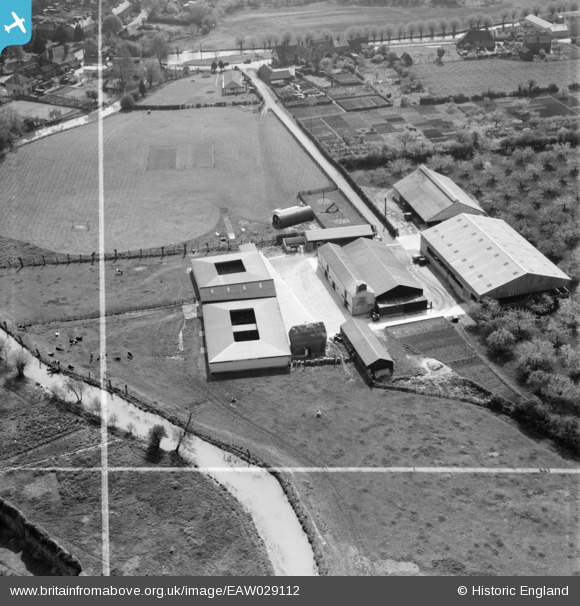
EAW029112 ENGLAND (1950). Furlongs Farm, Eynsford, 1950. This image was marked by Aerofilms Ltd for photo editing.
© Copyright OpenStreetMap contributors and licensed by the OpenStreetMap Foundation. 2025. Cartography is licensed as CC BY-SA.
Nearby Images (25)
EAW029112

EAW029111

EAW029109

EAW029110

EAW029116

EAW029115

EAW013378

EAW013377

EAW034951

EAW013376

EAW029117

EAW034954

EAW013379

EAW034952

EAW034950

EAW013380

EAW029114

EAW034955

EAW023110

EAW034953

EAW034956

EAW029123

EAW029124

EAW029126

EAW029125

Details
| Title | [EAW029112] Furlongs Farm, Eynsford, 1950. This image was marked by Aerofilms Ltd for photo editing. |
| Reference | EAW029112 |
| Date | 9-May-1950 |
| Link | |
| Place name | EYNSFORD |
| Parish | EYNSFORD |
| District | |
| Country | ENGLAND |
| Easting / Northing | 554056, 165754 |
| Longitude / Latitude | 0.21343453846914, 51.369421697047 |
| National Grid Reference | TQ541658 |
Pins
 Sparky |
Sunday 22nd of October 2017 11:48:33 PM |