
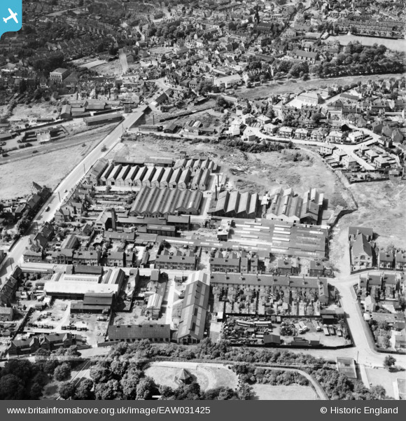
EAW031425 ENGLAND (1950). W.P. Edmunds Iron and Brass Foundry, Darlaston, 1950. This image was marked by Aerofilms Ltd for photo editing.
© Copyright OpenStreetMap contributors and licensed by the OpenStreetMap Foundation. 2024. Cartography is licensed as CC BY-SA.
Nearby Images (8)
EAW031425

EAW031423

EAW031424

EAW031419

EAW031420

EAW031422

EAW031421

EPW015212

Details
| Title | [EAW031425] W.P. Edmunds Iron and Brass Foundry, Darlaston, 1950. This image was marked by Aerofilms Ltd for photo editing. |
| Reference | EAW031425 |
| Date | 25-July-1950 |
| Link | |
| Place name | DARLASTON |
| Parish | |
| District | |
| Country | ENGLAND |
| Easting / Northing | 397938, 296361 |
| Longitude / Latitude | -2.0304233767251, 52.564715662251 |
| National Grid Reference | SO979964 |
Pins
Be the first to add a comment to this image!