
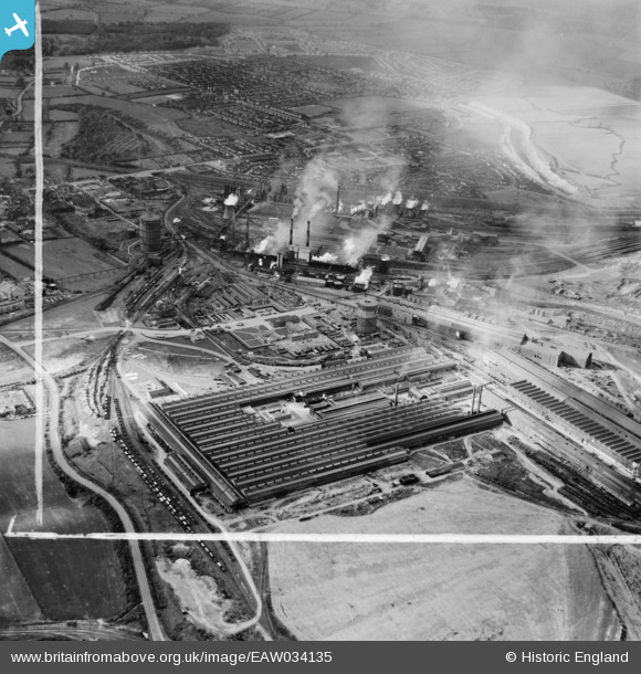
EAW034135 ENGLAND (1950). Stewarts and Lloyds Ltd Iron & Steel Works and the town, Corby, from the east, 1950. This image was marked by Aerofilms Ltd for photo editing.
© Copyright OpenStreetMap contributors and licensed by the OpenStreetMap Foundation. 2025. Cartography is licensed as CC BY-SA.
Nearby Images (17)
EAW034135

EAW034126

EAW034132

EAW034133

EPW054924

EAW034124

EAW034128

EAW034131

EPW049768

EAW034127

EAW034125

EAW034134

EAW034129

EAW034130

EAW045561

EAW034122

EAW045577

Details
| Title | [EAW034135] Stewarts and Lloyds Ltd Iron & Steel Works and the town, Corby, from the east, 1950. This image was marked by Aerofilms Ltd for photo editing. |
| Reference | EAW034135 |
| Date | 26-October-1950 |
| Link | |
| Place name | CORBY |
| Parish | |
| District | |
| Country | ENGLAND |
| Easting / Northing | 490637, 289405 |
| Longitude / Latitude | -0.66480957850746, 52.494645600701 |
| National Grid Reference | SP906894 |
Pins
Be the first to add a comment to this image!