
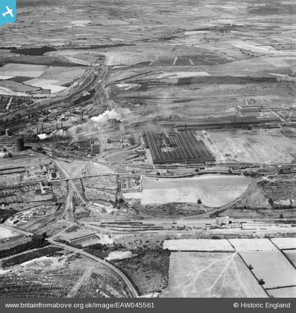
EAW045561 ENGLAND (1952). Corby Steelworks and environs, Corby, 1952
© Copyright OpenStreetMap contributors and licensed by the OpenStreetMap Foundation. 2025. Cartography is licensed as CC BY-SA.
Nearby Images (21)
EAW045561

EAW034134

EPW049769

EAW034127

EAW034130

EAW034125

EAW034131

EAW034128

EAW034124

EPW049768

EPW054924

EAW034132

EAW034133

EAW034126

EAW034129

EAW044698

EAW045577

EAW034122

EPW049766

EAW034135

EPW049773

Details
| Title | [EAW045561] Corby Steelworks and environs, Corby, 1952 |
| Reference | EAW045561 |
| Date | 19-July-1952 |
| Link | |
| Place name | CORBY |
| Parish | |
| District | |
| Country | ENGLAND |
| Easting / Northing | 490410, 289393 |
| Longitude / Latitude | -0.66815583383394, 52.494575417645 |
| National Grid Reference | SP904894 |
Pins
Be the first to add a comment to this image!