
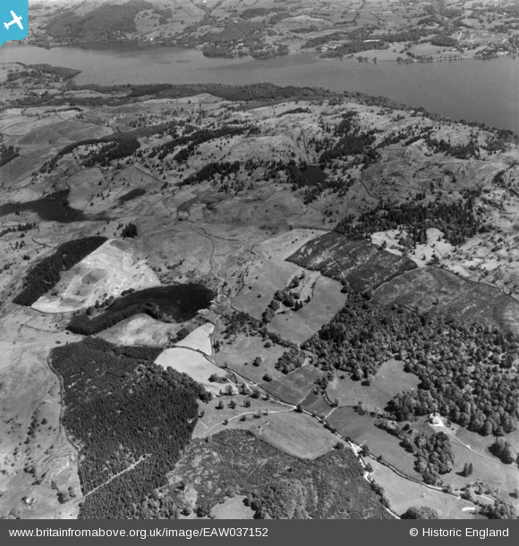
EAW037152 ENGLAND (1951). Countryside between Near Sawrey village and Lake Windermere, Claife Heights, 1951. This image has been produced from a print.
© Copyright OpenStreetMap contributors and licensed by the OpenStreetMap Foundation. 2025. Cartography is licensed as CC BY-SA.
Nearby Images (7)
EAW037152

EAW046945

EAW035888

EAW037157

EAW037153

EAW035887

EAW037156

Details
| Title | [EAW037152] Countryside between Near Sawrey village and Lake Windermere, Claife Heights, 1951. This image has been produced from a print. |
| Reference | EAW037152 |
| Date | 5-June-1951 |
| Link | |
| Place name | CLAIFE HEIGHTS |
| Parish | CLAIFE |
| District | |
| Country | ENGLAND |
| Easting / Northing | 337424, 496882 |
| Longitude / Latitude | -2.9631528515113, 54.363463866574 |
| National Grid Reference | SD374969 |
Pins
Be the first to add a comment to this image!