
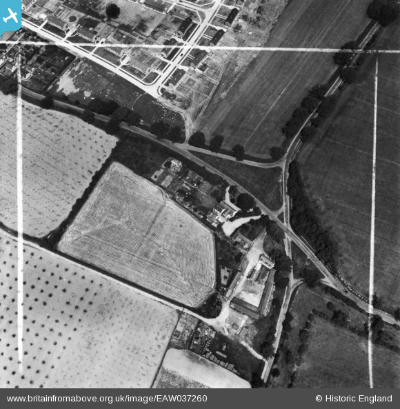
EAW037260 ENGLAND (1951). Maypole Farm, The Maypole and Maypole Green Road, Maypole Green, 1951. This image has been produced from a print marked by Aerofilms Ltd for photo editing.
© Copyright OpenStreetMap contributors and licensed by the OpenStreetMap Foundation. 2025. Cartography is licensed as CC BY-SA.
Nearby Images (3)
EAW037260

EAW037259

EAW037263

Details
| Title | [EAW037260] Maypole Farm, The Maypole and Maypole Green Road, Maypole Green, 1951. This image has been produced from a print marked by Aerofilms Ltd for photo editing. |
| Reference | EAW037260 |
| Date | 21-June-1951 |
| Link | |
| Place name | MAYPOLE GREEN |
| Parish | |
| District | |
| Country | ENGLAND |
| Easting / Northing | 598546, 221966 |
| Longitude / Latitude | 0.88373452620577, 51.860455765942 |
| National Grid Reference | TL985220 |
Pins
Be the first to add a comment to this image!