
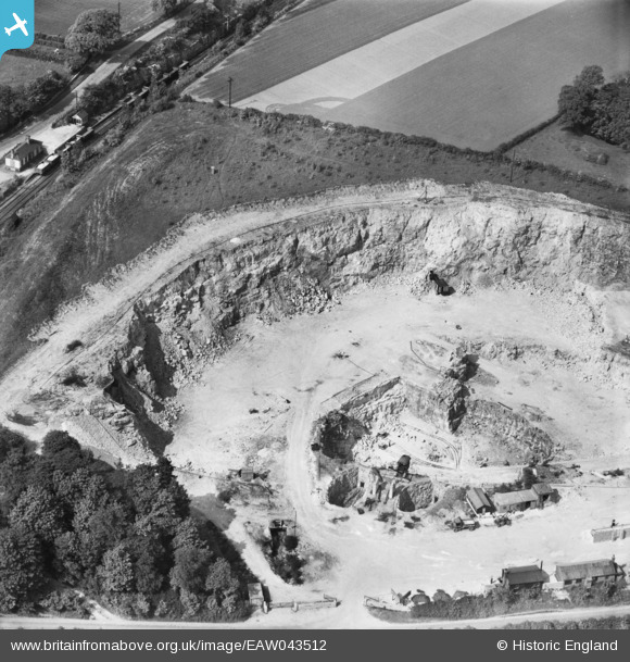
EAW043512 ENGLAND (1952). Sprotbrough Quarry, Sprotbrough, 1952
© Copyright OpenStreetMap contributors and licensed by the OpenStreetMap Foundation. 2025. Cartography is licensed as CC BY-SA.
Nearby Images (23)
EAW043512

EAW043515

EAW043518

EAW047502

EAW049691

EAW043513

EAW047503

EAW047501

EAW049687

EAW047500

EAW043516

EAW049692

EAW047498

EAW043517

EAW043514

EAW047499

EAW047504

EAW047505

EAW049686

EAW043526

EAW043521

EAW043523

EAW043525

Details
| Title | [EAW043512] Sprotbrough Quarry, Sprotbrough, 1952 |
| Reference | EAW043512 |
| Date | 21-May-1952 |
| Link | |
| Place name | SPROTBROUGH |
| Parish | SPROTBROUGH AND CUSWORTH |
| District | |
| Country | ENGLAND |
| Easting / Northing | 453307, 401573 |
| Longitude / Latitude | -1.1961324935849, 53.50788977287 |
| National Grid Reference | SE533016 |
Pins
 John Wass |
Saturday 15th of November 2014 08:59:48 PM | |
Rob Daniels |
Wednesday 2nd of July 2014 11:12:35 PM | |
Rob Daniels |
Wednesday 2nd of July 2014 10:54:45 PM |