
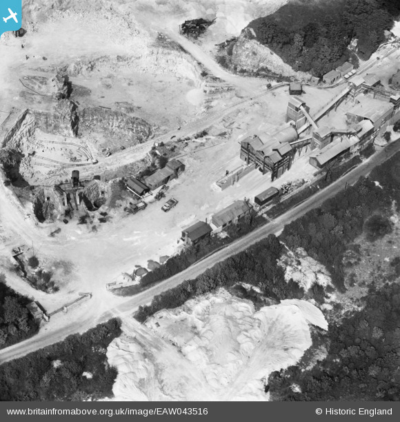
EAW043516 ENGLAND (1952). Sprotbrough Quarry, Sprotbrough, 1952
© Copyright OpenStreetMap contributors and licensed by the OpenStreetMap Foundation. 2025. Cartography is licensed as CC BY-SA.
Nearby Images (27)
EAW043516

EAW049687

EAW043517

EAW047498

EAW043514

EAW047501

EAW047504

EAW047500

EAW047499

EAW043513

EAW047503

EAW047505

EAW049692

EAW049691

EAW043526

EAW049686

EAW043521

EAW043525

EAW047502

EAW043518

EAW043512

EAW043523

EAW043515

EAW043524

EAW043522

EAW043496

EAW049689

Details
| Title | [EAW043516] Sprotbrough Quarry, Sprotbrough, 1952 |
| Reference | EAW043516 |
| Date | 21-May-1952 |
| Link | |
| Place name | SPROTBROUGH |
| Parish | SPROTBROUGH AND CUSWORTH |
| District | |
| Country | ENGLAND |
| Easting / Northing | 453351, 401451 |
| Longitude / Latitude | -1.1954898139191, 53.506788705017 |
| National Grid Reference | SE534015 |
Pins
Be the first to add a comment to this image!