
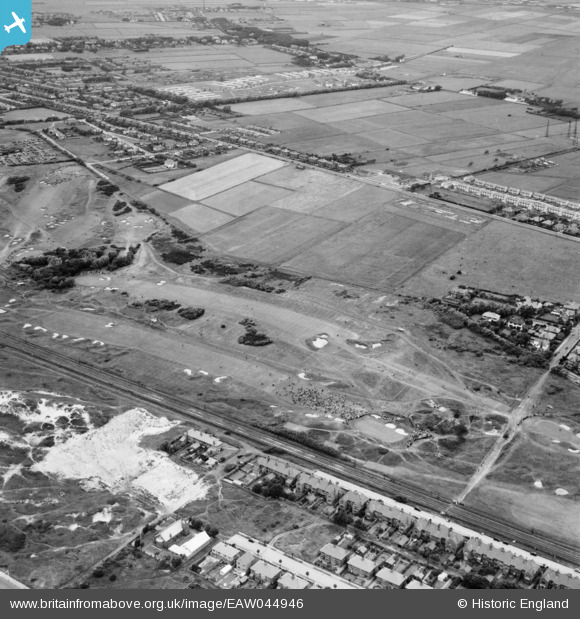
EAW044946 ENGLAND (1952). Lytham St Anne's, the 1952 Open Golf Championship (9-11 July) in progress at Royal Lytham St Anne's Golf Course, 1952
© Copyright OpenStreetMap contributors and licensed by the OpenStreetMap Foundation. 2025. Cartography is licensed as CC BY-SA.
Nearby Images (3)
EAW044946
 in progress at Royal Lytham St Anne's Golf Course, 1952")
EAW044944
 in progress at Royal Lytham St Anne's Golf Course, from the south-east, 1952")
EAW044945
 in progress at Royal Lytham St Anne's Golf Course, from the south-east, 1952")
Details
| Title | [EAW044946] Lytham St Anne's, the 1952 Open Golf Championship (9-11 July) in progress at Royal Lytham St Anne's Golf Course, 1952 |
| Reference | EAW044946 |
| Date | July-1952 |
| Link | |
| Place name | LYTHAM ST ANNE'S |
| Parish | SAINT ANNE'S ON THE SEA |
| District | |
| Country | ENGLAND |
| Easting / Northing | 334022, 428190 |
| Longitude / Latitude | -3.0005602701017, 53.745683529372 |
| National Grid Reference | SD340282 |
Pins
 Matt Aldred edob.mattaldred.com |
Monday 31st of March 2025 07:04:28 PM | |
 redmist |
Wednesday 20th of March 2019 12:10:51 PM |