
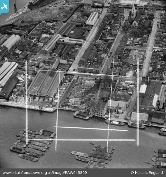
EAW045809 ENGLAND (1952). Byng Street, Strafford Street and wharfage on the River Thames behind West Ferry Road, Millwall, 1952. This image was marked by Aerofilms Ltd for photo editing.
© Copyright OpenStreetMap contributors and licensed by the OpenStreetMap Foundation. 2025. Cartography is licensed as CC BY-SA.
Nearby Images (16)
EAW045809

EAW045676

EAW045808

EAW045811

EAW045812

EAW045810

EAW045680

EAW045813

EAW045679

EAW045677

EAW045675

EAW045807

EAW045673

EAW045678

EAW045674

EAW016654

Details
| Title | [EAW045809] Byng Street, Strafford Street and wharfage on the River Thames behind West Ferry Road, Millwall, 1952. This image was marked by Aerofilms Ltd for photo editing. |
| Reference | EAW045809 |
| Date | 31-July-1952 |
| Link | |
| Place name | MILLWALL |
| Parish | |
| District | |
| Country | ENGLAND |
| Easting / Northing | 537089, 179771 |
| Longitude / Latitude | -0.02475040661523, 51.499746673693 |
| National Grid Reference | TQ371798 |
Pins
 moses72 |
Tuesday 23rd of September 2014 11:43:20 AM | |
Con Maloney |
Saturday 19th of July 2014 11:41:37 PM | |
Con Maloney |
Saturday 19th of July 2014 11:40:38 PM | |
Con Maloney |
Saturday 19th of July 2014 11:39:22 PM | |
Con Maloney |
Saturday 19th of July 2014 11:38:44 PM | |
Con Maloney |
Saturday 19th of July 2014 11:38:13 PM | |
Con Maloney |
Saturday 19th of July 2014 11:36:38 PM |