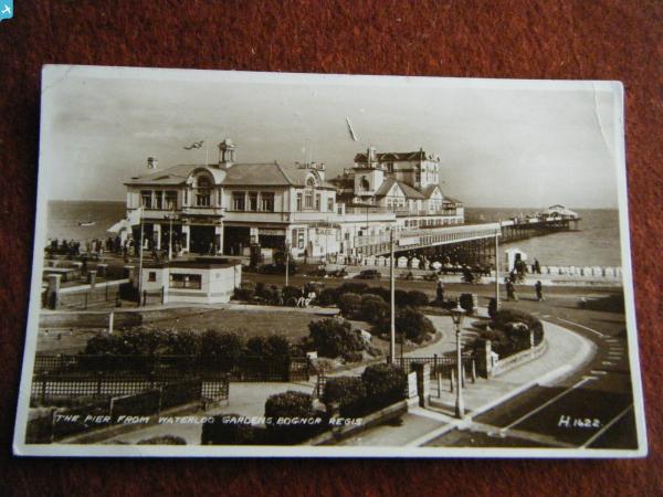
EAW046805 ENGLAND (1952). The pier and seafront, Bognor Regis, from the east, 1952

© Copyright OpenStreetMap contributors and licensed by the OpenStreetMap Foundation. 2025. Cartography is licensed as CC BY-SA.
Nearby Images (3)
EAW046805

EAW029567

EPW040102

Details
| Title | [EAW046805] The pier and seafront, Bognor Regis, from the east, 1952 |
| Reference | EAW046805 |
| Date | 16-September-1952 |
| Link | |
| Place name | BOGNOR REGIS |
| Parish | BOGNOR REGIS |
| District | |
| Country | ENGLAND |
| Easting / Northing | 494120, 98688 |
| Longitude / Latitude | -0.66484238513001, 50.779555357081 |
| National Grid Reference | SZ941987 |
Pins
 ordinarybloke |
Wednesday 14th of December 2016 12:08:04 PM |