
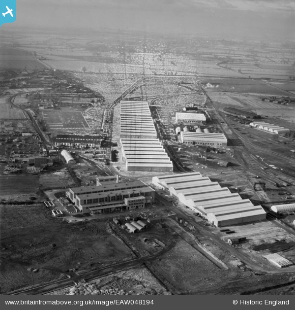
EAW048194 ENGLAND (1953). The Long Marston Supply Depot (Central Engineer Park), Long Marston, from the west, 1953. This image has been produced from a damaged negative.
© Copyright OpenStreetMap contributors and licensed by the OpenStreetMap Foundation. 2025. Cartography is licensed as CC BY-SA.
Nearby Images (18)
EAW048194
, Long Marston, from the west, 1953. This image has been produced from a damaged negative.")
EAW048198
, Long Marston, from the west, 1953")
EAW039975
 under construction, Long Marston, 1951")
EAW042125
 under construction, Long Marston, 1952")
EAW042128
 under construction, Long Marston, 1952")
EAW042121
 under construction, Long Marston, 1952")
EAW048203
, Long Marston, from the north-east, 1953")
EAW048199
, Long Marston, from the north-east, 1953")
EAW039977
 under construction, Long Marston, 1951")
EAW039973
 under construction, Long Marston, 1951")
EAW042126
 under construction, Long Marston, 1952")
EAW042123
 under construction, Long Marston, 1952")
EAW042122
 under construction, Long Marston, 1952")
EAW048206
, Long Marston, from the north-east, 1953")
EAW039972
 under construction, Long Marston, 1951")
EAW039979
 under construction, Long Marston, 1951")
EAW048195
, Long Marston, 1953")
EAW039982
 under construction, Long Marston, 1951")
Details
| Title | [EAW048194] The Long Marston Supply Depot (Central Engineer Park), Long Marston, from the west, 1953. This image has been produced from a damaged negative. |
| Reference | EAW048194 |
| Date | 29-January-1953 |
| Link | |
| Place name | LONG MARSTON |
| Parish | LONG MARSTON |
| District | |
| Country | ENGLAND |
| Easting / Northing | 416325, 246597 |
| Longitude / Latitude | -1.761556082586, 52.117039444622 |
| National Grid Reference | SP163466 |
Pins
Be the first to add a comment to this image!