
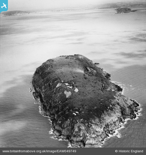
EAW049749 ENGLAND (1953). Steep Holm island, Steep Holm, 1953
© Copyright OpenStreetMap contributors and licensed by the OpenStreetMap Foundation. 2025. Cartography is licensed as CC BY-SA.
Nearby Images (8)
EAW049749

EAW049107

EAW049109

EAW049748

EAW049750

EAW049108

EAW049106

EAW049105

Details
| Title | [EAW049749] Steep Holm island, Steep Holm, 1953 |
| Reference | EAW049749 |
| Date | 28-May-1953 |
| Link | |
| Place name | STEEP HOLM |
| Parish | WESTON-SUPER-MARE |
| District | |
| Country | ENGLAND |
| Easting / Northing | 322880, 160664 |
| Longitude / Latitude | -3.107267859856, 51.339324769446 |
| National Grid Reference | ST229607 |
Pins
 Gen_Hancock |
Friday 3rd of February 2017 11:51:50 AM | |
Louis |
Wednesday 15th of October 2014 08:05:13 PM |