
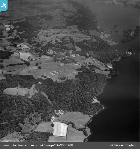
EAW050268 ENGLAND (1953). Waterbarrow and environs, High Cunsey, 1953
© Copyright OpenStreetMap contributors and licensed by the OpenStreetMap Foundation. 2025. Cartography is licensed as CC BY-SA.
Nearby Images (2)
EAW050268

EAW050270

Details
| Title | [EAW050268] Waterbarrow and environs, High Cunsey, 1953 |
| Reference | EAW050268 |
| Date | 29-June-1953 |
| Link | |
| Place name | HIGH CUNSEY |
| Parish | CLAIFE |
| District | |
| Country | ENGLAND |
| Easting / Northing | 338237, 494884 |
| Longitude / Latitude | -2.9502268574216, 54.345607138587 |
| National Grid Reference | SD382949 |
Pins
 Peter Hoggarth |
Friday 7th of April 2017 03:55:02 PM |