
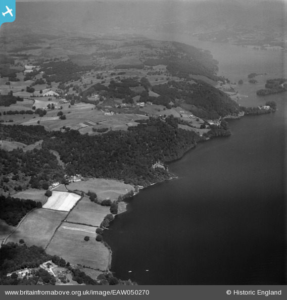
EAW050270 ENGLAND (1953). Waterbarrow and environs, High Cunsey, 1953
© Copyright OpenStreetMap contributors and licensed by the OpenStreetMap Foundation. 2025. Cartography is licensed as CC BY-SA.
Nearby Images (2)
EAW050270

EAW050268

Details
| Title | [EAW050270] Waterbarrow and environs, High Cunsey, 1953 |
| Reference | EAW050270 |
| Date | 29-June-1953 |
| Link | |
| Place name | HIGH CUNSEY |
| Parish | CLAIFE |
| District | |
| Country | ENGLAND |
| Easting / Northing | 338336, 494663 |
| Longitude / Latitude | -2.9486582288673, 54.343633001193 |
| National Grid Reference | SD383947 |
Pins
Be the first to add a comment to this image!