
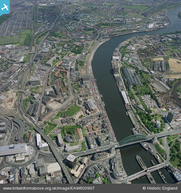
EAW600907 ENGLAND (1991). Tyne Bridge, Newcastle upon Tyne, 1991
© Copyright OpenStreetMap contributors and licensed by the OpenStreetMap Foundation. 2025. Cartography is licensed as CC BY-SA.
Nearby Images (14)
EAW600907

EPW048801

EPW048807

EPW051086

EPW051085

EPW051087

EPW051090

EPW051088

EPW051084

EPW048803

EPW051089

EAW037008

EAW037012

EPW048799

Details
| Title | [EAW600907] Tyne Bridge, Newcastle upon Tyne, 1991 |
| Reference | EAW600907 |
| Date | 5-June-1991 |
| Link | |
| Place name | NEWCASTLE UPON TYNE |
| Parish | NON CIVIL PARISH |
| District | |
| Country | ENGLAND |
| Easting / Northing | 425632, 564021 |
| Longitude / Latitude | -1.5995611188654, 54.970072846742 |
| National Grid Reference | NZ256640 |
Pins
 nmg27 |
Sunday 6th of October 2024 09:46:20 PM | |
RupertHughes |
Tuesday 2nd of March 2021 09:53:49 PM | |
 melgibbs |
Monday 21st of December 2015 04:57:23 PM | |
vof |
Saturday 5th of December 2015 11:05:06 PM | |
vof |
Saturday 5th of December 2015 10:59:57 PM |
User Comment Contributions
 Tyne Bridge, Newcastle, 1939 |
 Class31 |
Monday 16th of November 2015 05:15:29 PM |