
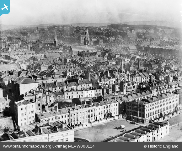
EPW000114 ENGLAND (1920). General View, Hastings, from the south-west, 1920
© Copyright OpenStreetMap contributors and licensed by the OpenStreetMap Foundation. 2025. Cartography is licensed as CC BY-SA.
Nearby Images (9)
EPW000114

EAW002415

EPW016890

EPW035344

EAW002416

EPW042841

EPW000117

EAW002414

EAW002417

Details
| Title | [EPW000114] General View, Hastings, from the south-west, 1920 |
| Reference | EPW000114 |
| Date | February-1920 |
| Link | |
| Place name | HASTINGS |
| Parish | |
| District | |
| Country | ENGLAND |
| Easting / Northing | 580144, 108877 |
| Longitude / Latitude | 0.55948228855608, 50.850760674231 |
| National Grid Reference | TQ801089 |
Pins
Be the first to add a comment to this image!
User Comment Contributions
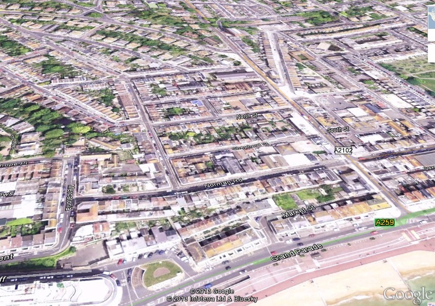 Although titled as Hastings, this shows St Leonards. Marina @ Grand Parade in the foreground (prior to the construction of Marine Court)and Christ Church in the centre. The attached shows the approximate position on Google Earth |
 Rod Smith |
Tuesday 2nd of April 2013 02:59:07 PM |