
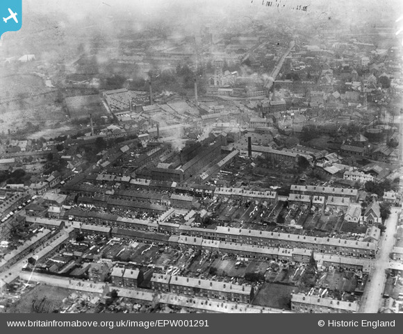
EPW001291 ENGLAND (1920). Park Street and environs, Kidderminster, 1920
© Copyright OpenStreetMap contributors and licensed by the OpenStreetMap Foundation. 2025. Cartography is licensed as CC BY-SA.
Nearby Images (2)
EPW001291

EPW034231

Details
| Title | [EPW001291] Park Street and environs, Kidderminster, 1920 |
| Reference | EPW001291 |
| Date | May-1920 |
| Link | |
| Place name | KIDDERMINSTER |
| Parish | |
| District | |
| Country | ENGLAND |
| Easting / Northing | 382757, 276653 |
| Longitude / Latitude | -2.2533872640205, 52.387253111897 |
| National Grid Reference | SO828767 |
Pins
 Class31 |
Sunday 16th of August 2015 09:45:07 AM |
