
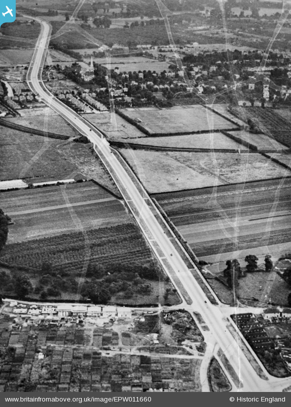
EPW011660 ENGLAND (1924). The Great West Road, Spring Grove, 1924. This image has been produced from a damaged copy-negative.
© Copyright OpenStreetMap contributors and licensed by the OpenStreetMap Foundation. 2025. Cartography is licensed as CC BY-SA.
Nearby Images (6)
EPW011660

EPW056166

EPW035039

EPW035027

EPW017384

EPW035091

Details
| Title | [EPW011660] The Great West Road, Spring Grove, 1924. This image has been produced from a damaged copy-negative. |
| Reference | EPW011660 |
| Date | August-1924 |
| Link | |
| Place name | SPRING GROVE |
| Parish | |
| District | |
| Country | ENGLAND |
| Easting / Northing | 514349, 176960 |
| Longitude / Latitude | -0.35315084192592, 51.479538282669 |
| National Grid Reference | TQ143770 |
Pins
 Isleworthian |
Sunday 26th of July 2015 03:46:03 PM |