
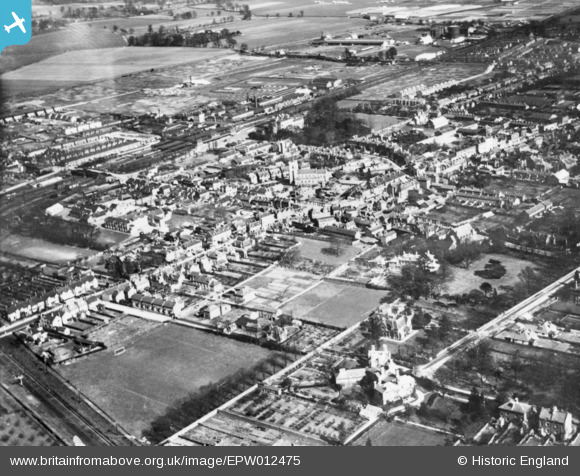
EPW012475 ENGLAND (1925). The Old Rectory, Bath Road and environs, Slough, 1925. This image has been produced from a copy-negative.
© Copyright OpenStreetMap contributors and licensed by the OpenStreetMap Foundation. 2025. Cartography is licensed as CC BY-SA.
Nearby Images (12)
EPW012475

EPW061200

EPR000464

EPW056578

EPW061092

EAW030167

EPW061091

EPW056580

EPW012477

EPW061199

EAW029472

EPW061201

Details
| Title | [EPW012475] The Old Rectory, Bath Road and environs, Slough, 1925. This image has been produced from a copy-negative. |
| Reference | EPW012475 |
| Date | April-1925 |
| Link | |
| Place name | SLOUGH |
| Parish | |
| District | |
| Country | ENGLAND |
| Easting / Northing | 497513, 179900 |
| Longitude / Latitude | -0.59472441448054, 51.509122124061 |
| National Grid Reference | SU975799 |
Pins
 Mike Holder |
Friday 2nd of February 2018 08:47:25 PM | |
Mike Holder |
Friday 2nd of February 2018 08:46:40 PM | |
Mike Holder |
Friday 2nd of February 2018 08:46:05 PM | |
Mike Holder |
Friday 2nd of February 2018 08:45:22 PM | |
designking |
Tuesday 28th of July 2015 09:15:42 PM | |
dave43 |
Friday 2nd of January 2015 08:30:31 PM | |
dave43 |
Friday 2nd of January 2015 08:29:46 PM | |
dave43 |
Friday 2nd of January 2015 08:28:23 PM |