
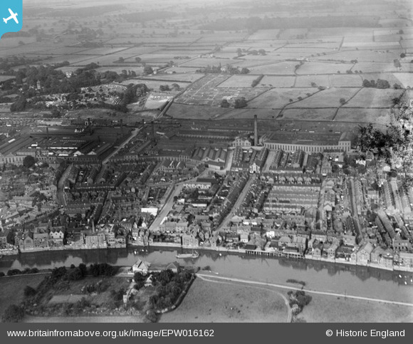
EPW016162 ENGLAND (1926). The town centre, Gainsborough, from the west, 1926
© Copyright OpenStreetMap contributors and licensed by the OpenStreetMap Foundation. 2025. Cartography is licensed as CC BY-SA.
Nearby Images (10)
EPW016162

EPW062210

EAW025212

EPW016157

EPW062207

EAW025210

EPW016158

EPW016160

EPW062206

EAW015690

Details
| Title | [EPW016162] The town centre, Gainsborough, from the west, 1926 |
| Reference | EPW016162 |
| Date | 2-July-1926 |
| Link | |
| Place name | GAINSBOROUGH |
| Parish | GAINSBOROUGH |
| District | |
| Country | ENGLAND |
| Easting / Northing | 481509, 389510 |
| Longitude / Latitude | -0.77406254117068, 53.39585833479 |
| National Grid Reference | SK815895 |
Pins
 Paddy Buckley |
Sunday 21st of October 2012 01:14:07 PM | |
Paddy Buckley |
Sunday 21st of October 2012 01:11:52 PM | |
Paddy Buckley |
Sunday 21st of October 2012 01:10:16 PM | |
Paddy Buckley |
Sunday 21st of October 2012 01:07:36 PM | |
Paddy Buckley |
Sunday 21st of October 2012 01:06:33 PM | |
Paddy Buckley |
Sunday 21st of October 2012 01:04:38 PM | |
Paddy Buckley |
Sunday 21st of October 2012 01:03:35 PM | |
Paddy Buckley |
Sunday 21st of October 2012 01:02:59 PM |