
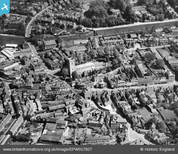
EPW017827 ENGLAND (1927). All Saints' Church, High Wycombe, 1927
© Copyright OpenStreetMap contributors and licensed by the OpenStreetMap Foundation. 2025. Cartography is licensed as CC BY-SA.
Nearby Images (6)
EPW017827

EPW054660

EPW017825

EPW054658

EPW054661

EPW052765

Details
| Title | [EPW017827] All Saints' Church, High Wycombe, 1927 |
| Reference | EPW017827 |
| Date | April-1927 |
| Link | |
| Place name | HIGH WYCOMBE |
| Parish | |
| District | |
| Country | ENGLAND |
| Easting / Northing | 486568, 193071 |
| Longitude / Latitude | -0.74916591814678, 51.629316138839 |
| National Grid Reference | SU866931 |
Pins
Be the first to add a comment to this image!