
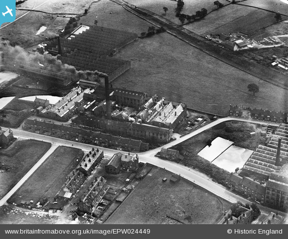
EPW024449 ENGLAND (1928). Kirk Lane Mills, Yeadon, 1928
© Copyright OpenStreetMap contributors and licensed by the OpenStreetMap Foundation. 2025. Cartography is licensed as CC BY-SA.
Nearby Images (22)
EPW024449

EPW024445

EAW008878

EAW036905

EAW008879

EAW036906

EAW036910

EAW008877

EAW036904

EAW036907

EAW008883

EAW036908

EAW008882

EAW008884

EPW024446

EPW024447

EAW036909

EAW008881

EAW008885

EAW008880

EAW036903

EAW036900

Details
| Title | [EPW024449] Kirk Lane Mills, Yeadon, 1928 |
| Reference | EPW024449 |
| Date | September-1928 |
| Link | |
| Place name | YEADON |
| Parish | |
| District | |
| Country | ENGLAND |
| Easting / Northing | 420284, 441061 |
| Longitude / Latitude | -1.6915203931396, 53.865160651583 |
| National Grid Reference | SE203411 |
Pins
 SMJ |
Saturday 12th of December 2015 09:28:54 PM | |
potty01926 |
Saturday 4th of May 2013 09:14:03 AM | |
Lootz |
Sunday 1st of July 2012 10:22:52 PM |