
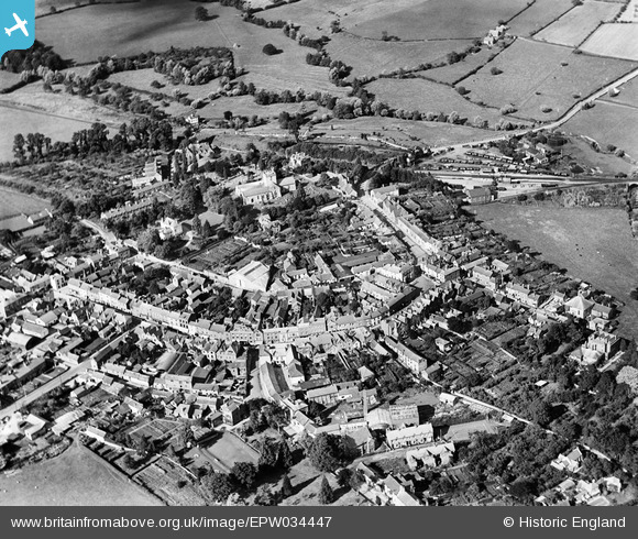
EPW034447 ENGLAND (1930). The town centre, Bromyard, 1930
© Copyright OpenStreetMap contributors and licensed by the OpenStreetMap Foundation. 2025. Cartography is licensed as CC BY-SA.
Nearby Images (6)
EPW034447

EPW034318

EPW034484

EPW034317

EPW034319

EPW058622

Details
| Title | [EPW034447] The town centre, Bromyard, 1930 |
| Reference | EPW034447 |
| Date | August-1930 |
| Link | |
| Place name | BROMYARD |
| Parish | BROMYARD AND WINSLOW |
| District | |
| Country | ENGLAND |
| Easting / Northing | 365534, 254703 |
| Longitude / Latitude | -2.5042270206843, 52.189088333454 |
| National Grid Reference | SO655547 |
Pins
 John W |
Sunday 16th of April 2017 04:34:29 PM | |
Blackcountryman |
Tuesday 26th of January 2016 01:07:45 PM | |
 Class31 |
Sunday 27th of July 2014 08:40:29 AM | |
Class31 |
Sunday 27th of July 2014 08:38:49 AM | |
Class31 |
Sunday 27th of July 2014 08:37:48 AM | |
Class31 |
Sunday 27th of July 2014 08:37:00 AM | |
Class31 |
Sunday 27th of July 2014 08:36:15 AM | |
Lynda Read |
Monday 25th of February 2013 11:26:36 PM |


User Comment Contributions
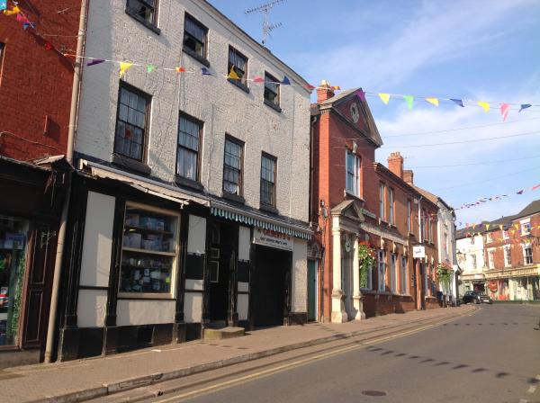
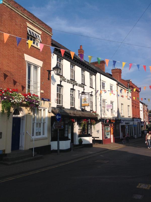
 Broad Street, Bromyard, 25/07/2014 |
Class31 |
Sunday 27th of July 2014 08:39:25 AM |