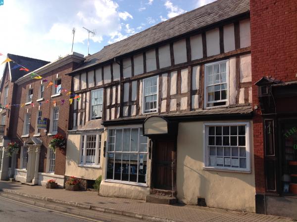
EPW034484 ENGLAND (1930). The town centre, Bromyard, 1930

© Copyright OpenStreetMap contributors and licensed by the OpenStreetMap Foundation. 2025. Cartography is licensed as CC BY-SA.
Nearby Images (5)
EPW034484

EPW034447

EPW034319

EPW034318

EPW034317

Details
| Title | [EPW034484] The town centre, Bromyard, 1930 |
| Reference | EPW034484 |
| Date | August-1930 |
| Link | |
| Place name | BROMYARD |
| Parish | BROMYARD AND WINSLOW |
| District | |
| Country | ENGLAND |
| Easting / Northing | 365510, 254596 |
| Longitude / Latitude | -2.504567227938, 52.188124784564 |
| National Grid Reference | SO655546 |
Pins
 fillhip |
Thursday 12th of November 2020 12:42:46 PM | |
John W |
Sunday 16th of April 2017 04:33:35 PM | |
 Class31 |
Sunday 27th of July 2014 08:46:15 AM | |
Class31 |
Sunday 27th of July 2014 08:45:02 AM | |
Class31 |
Sunday 27th of July 2014 08:43:23 AM | |
Class31 |
Sunday 27th of July 2014 08:42:51 AM | |
Class31 |
Sunday 27th of July 2014 08:41:32 AM |