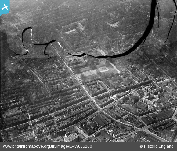
EPW035200 ENGLAND (1931). The Foundling Hospital site (Coram's Fields) and environs, Bloomsbury, 1931. This image has been produced from a damaged negative.
© Copyright OpenStreetMap contributors and licensed by the OpenStreetMap Foundation. 2025. Cartography is licensed as CC BY-SA.
Nearby Images (8)
Details
| Title | [EPW035200] The Foundling Hospital site (Coram's Fields) and environs, Bloomsbury, 1931. This image has been produced from a damaged negative. |
| Reference | EPW035200 |
| Date | May-1931 |
| Link | |
| Place name | BLOOMSBURY |
| Parish | |
| District | |
| Country | ENGLAND |
| Easting / Northing | 530514, 182254 |
| Longitude / Latitude | -0.11851074075149, 51.523619682862 |
| National Grid Reference | TQ305823 |
Pins
 Class31 |
Tuesday 10th of May 2016 10:30:36 AM | |
 Class31 |
Wednesday 18th of March 2015 07:45:11 PM | |
 Class31 |
Wednesday 18th of March 2015 07:44:03 PM | |
 Class31 |
Wednesday 18th of March 2015 07:43:10 PM | |
 billyfern |
Saturday 28th of June 2014 03:58:33 PM | |
 billyfern |
Saturday 28th of June 2014 03:57:54 PM | |
 billyfern |
Saturday 28th of June 2014 03:57:10 PM | |
 billyfern |
Saturday 28th of June 2014 03:56:45 PM | |
 billyfern |
Saturday 28th of June 2014 03:56:01 PM | |
 billyfern |
Saturday 28th of June 2014 03:55:40 PM | |
 billyfern |
Saturday 28th of June 2014 01:24:24 AM | |
 billyfern |
Saturday 28th of June 2014 01:19:34 AM | |
 Robin |
Monday 30th of December 2013 02:21:26 AM | |
 Robin |
Monday 30th of December 2013 02:14:05 AM | |
 Robin |
Monday 30th of December 2013 02:07:04 AM | |
 Robin |
Monday 30th of December 2013 01:57:57 AM | |
 Robin |
Monday 30th of December 2013 01:56:01 AM | |
 Robin |
Monday 30th of December 2013 01:54:14 AM | |
 Robin |
Monday 30th of December 2013 01:53:07 AM | |
 Robin |
Monday 30th of December 2013 01:51:37 AM | |
 Robin |
Monday 30th of December 2013 01:50:43 AM |
User Comment Contributions
Russell Square, 19/01/2015 |
 Class31 |
Wednesday 18th of March 2015 07:42:28 PM |
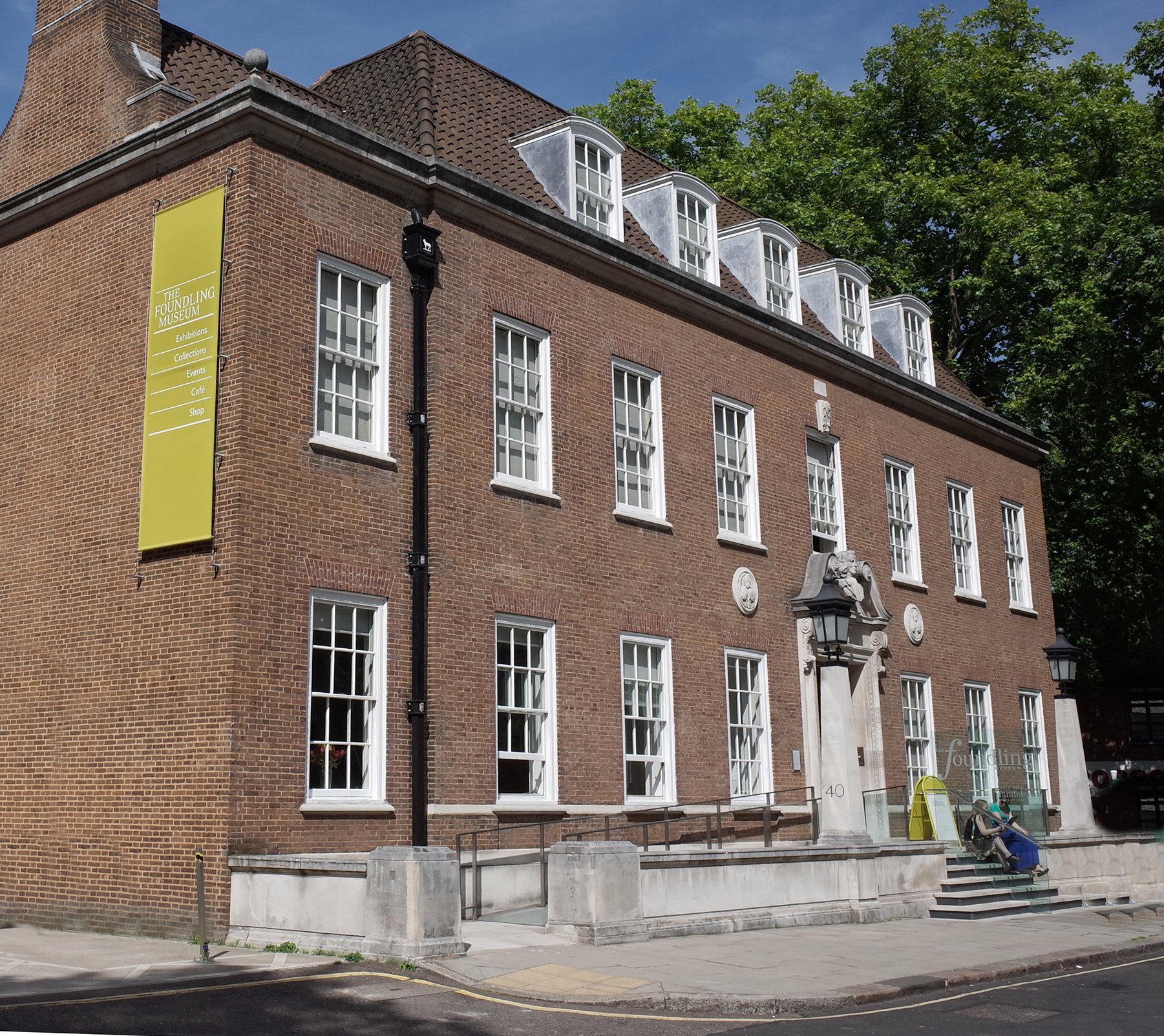
 The Foundling Museum |
 Alan McFaden |
Monday 13th of October 2014 09:55:42 AM |
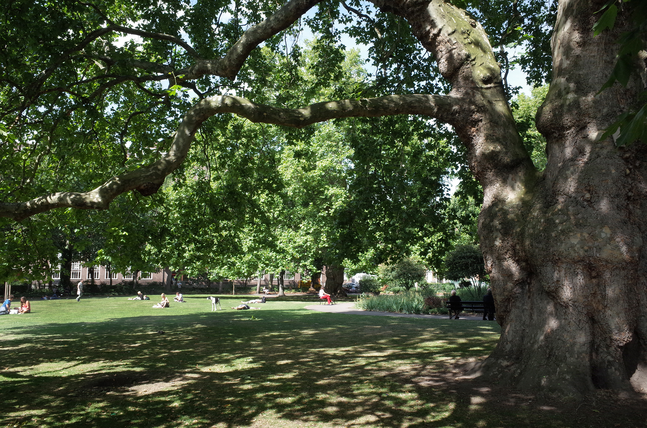
 Brunswick Square Gardens |
 Alan McFaden |
Monday 13th of October 2014 09:55:10 AM |
 Regent Square Garden |
 Alan McFaden |
Monday 13th of October 2014 09:54:21 AM |
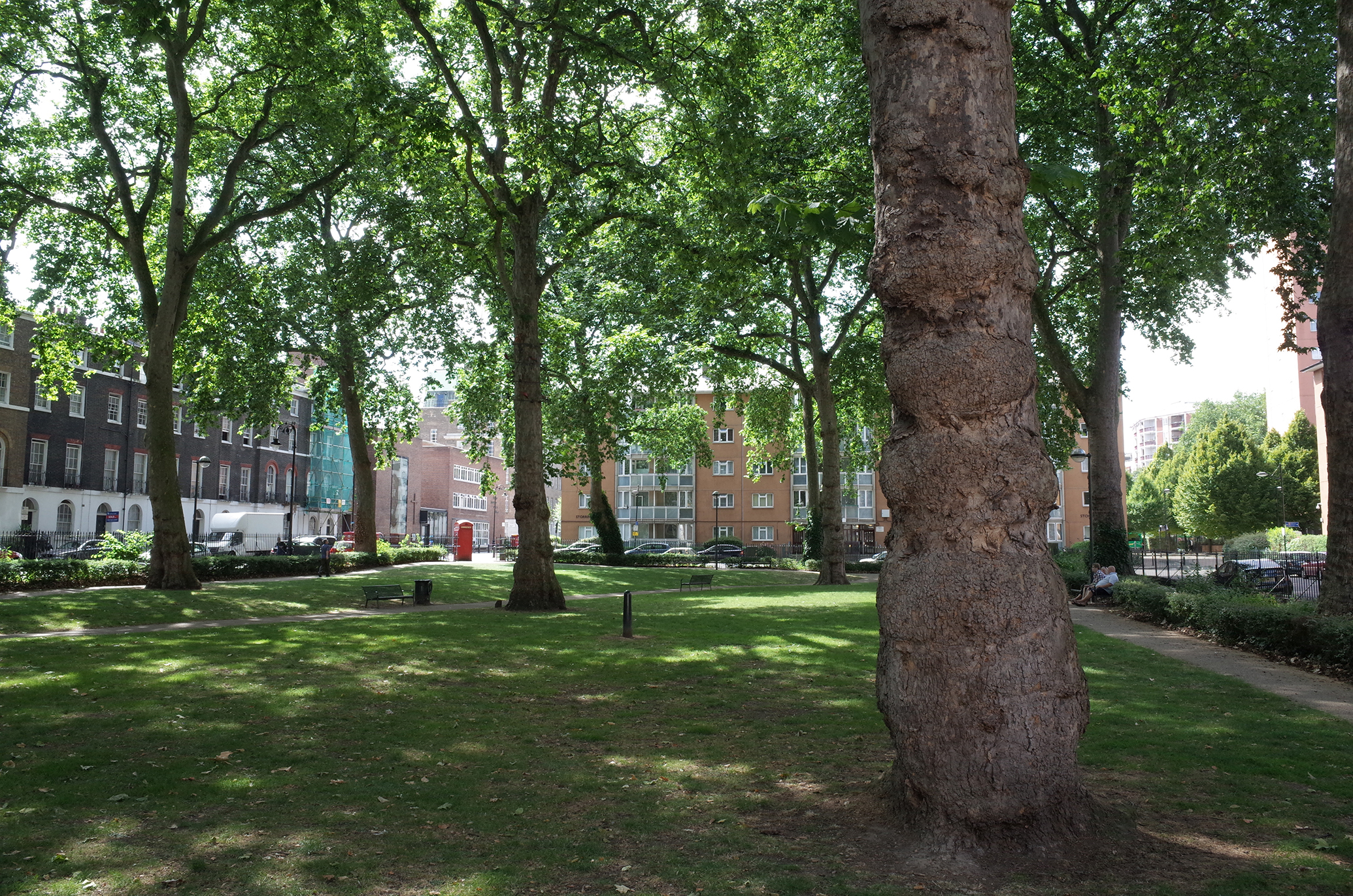
 Russell Square |
 Alan McFaden |
Monday 25th of August 2014 10:45:53 AM |
 Saint George's Gardens |
 Alan McFaden |
Monday 25th of August 2014 10:44:33 AM |


![[EPW035200] The Foundling Hospital site (Coram's Fields) and environs, Bloomsbury, 1931. This image has been produced from a damaged negative.](http://britainfromabove.org.uk/sites/all/libraries/aerofilms-images/public/100x100/EPW/035/EPW035200.jpg)
![[EPW035202] The Foundling Hospital site (Coram's Fields) and environs, Bloomsbury, 1931](http://britainfromabove.org.uk/sites/all/libraries/aerofilms-images/public/100x100/EPW/035/EPW035202.jpg)
![[EPW035203] The Foundling Hospital site (Coram's Fields) and environs, Bloomsbury, 1931](http://britainfromabove.org.uk/sites/all/libraries/aerofilms-images/public/100x100/EPW/035/EPW035203.jpg)
![[EPW005954A] Coram's Fields, Great Ormond Street and environs, Bloomsbury, 1921. This image has been produced from a copy-negative.](http://britainfromabove.org.uk/sites/all/libraries/aerofilms-images/public/100x100/EPW/005/EPW005954A.jpg)
![[EPW035201] The Foundling Hospital site (Coram's Fields) and environs, Bloomsbury, 1931. This image has been produced from a damaged negative.](http://britainfromabove.org.uk/sites/all/libraries/aerofilms-images/public/100x100/EPW/035/EPW035201.jpg)
![[EAW011086] Hotel Russell and Bernard Street, Bloomsbury, 1947](http://britainfromabove.org.uk/sites/all/libraries/aerofilms-images/public/100x100/EAW/011/EAW011086.jpg)
![[EAW011209] Gray's Inn Road and St Andrew's Gardens, St Pancras, 1947](http://britainfromabove.org.uk/sites/all/libraries/aerofilms-images/public/100x100/EAW/011/EAW011209.jpg)
![[EAW011083] Mecklenburgh Square Gardens and Gray's Inn Road, St Pancras, 1947](http://britainfromabove.org.uk/sites/all/libraries/aerofilms-images/public/100x100/EAW/011/EAW011083.jpg)