
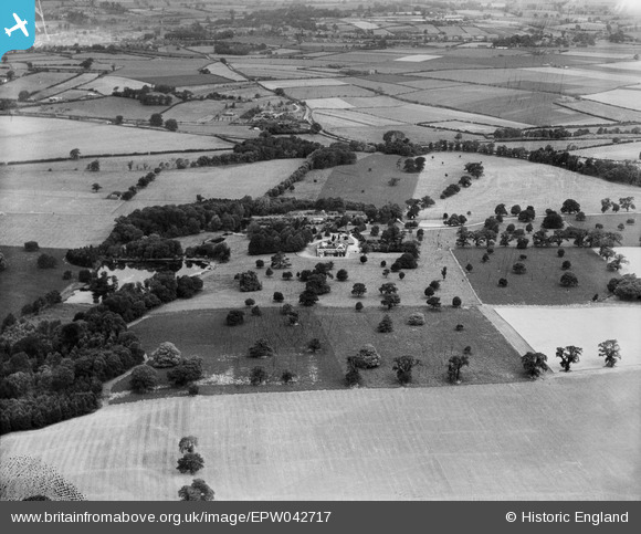
EPW042717 ENGLAND (1933). The Manor House, Ingle Hill and surrounding countryside, Freeford Manor, 1933
© Copyright OpenStreetMap contributors and licensed by the OpenStreetMap Foundation. 2025. Cartography is licensed as CC BY-SA.
Nearby Images (5)
EPW042717

EPW042715

EPW042714

EPW042716

EPW042713

Details
| Title | [EPW042717] The Manor House, Ingle Hill and surrounding countryside, Freeford Manor, 1933 |
| Reference | EPW042717 |
| Date | August-1933 |
| Link | |
| Place name | FREEFORD MANOR |
| Parish | SWINFEN AND PACKINGTON |
| District | |
| Country | ENGLAND |
| Easting / Northing | 413562, 307547 |
| Longitude / Latitude | -1.7994437385358, 52.665121004551 |
| National Grid Reference | SK136075 |
Pins
Be the first to add a comment to this image!