
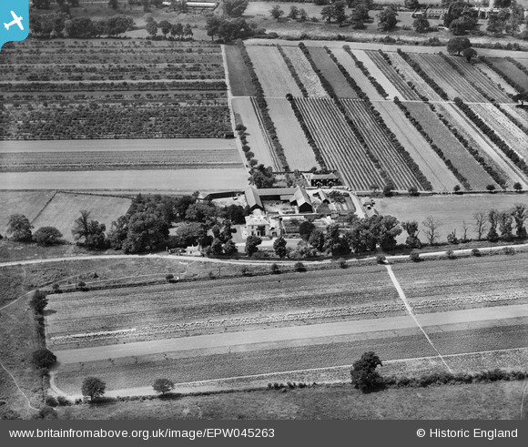
EPW045263 ENGLAND (1934). Chestnut Lodge Farm and surrounding farmland, Cobham, 1934
© Copyright OpenStreetMap contributors and licensed by the OpenStreetMap Foundation. 2025. Cartography is licensed as CC BY-SA.
Nearby Images (8)
EPW045263

EPW045264

EPW045262

EPW045269

EPW045266

EPW045268

EPW045267

EPW045265

Details
| Title | [EPW045263] Chestnut Lodge Farm and surrounding farmland, Cobham, 1934 |
| Reference | EPW045263 |
| Date | July-1934 |
| Link | |
| Place name | COBHAM |
| Parish | |
| District | |
| Country | ENGLAND |
| Easting / Northing | 510457, 161242 |
| Longitude / Latitude | -0.41407644648602, 51.339019811923 |
| National Grid Reference | TQ105612 |
Pins
Be the first to add a comment to this image!