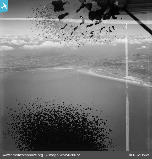
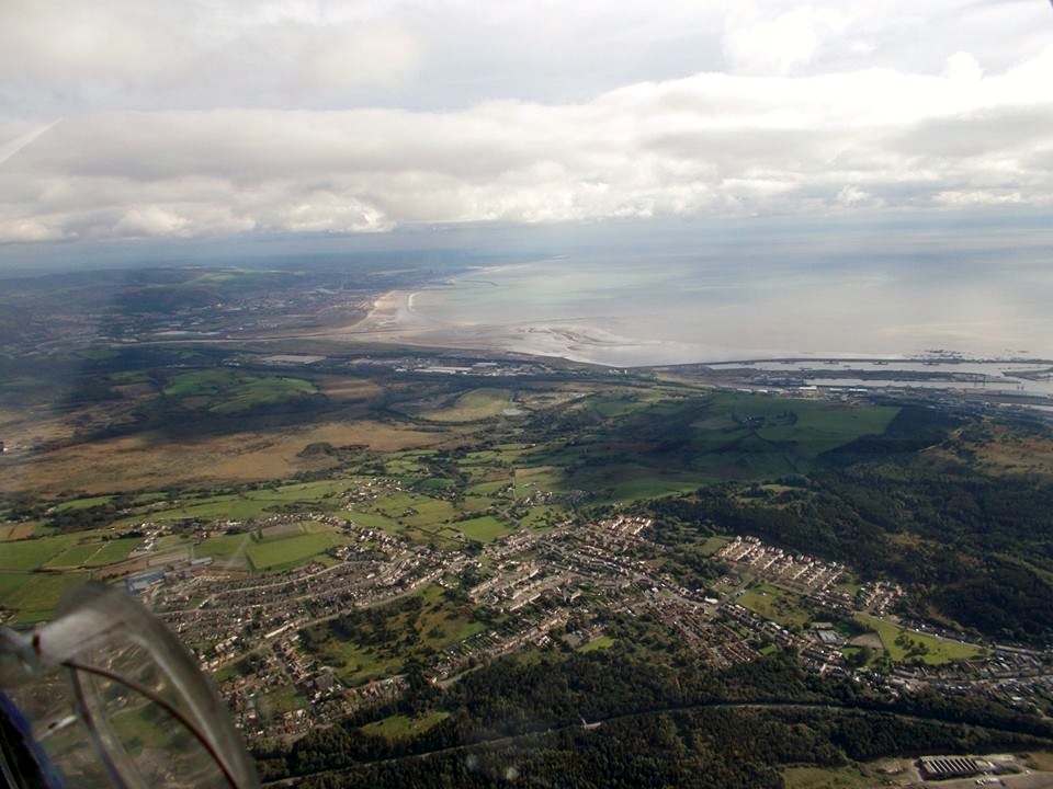
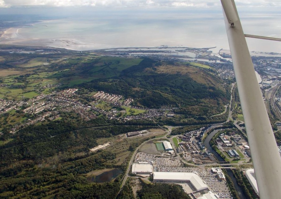
WAW026072 WALES (1949). Distant view of Swansea showing docks
© Copyright OpenStreetMap contributors and licensed by the OpenStreetMap Foundation. 2025. Cartography is licensed as CC BY-SA.
Nearby Images (48)
Details
| Title | [WAW026072] Distant view of Swansea showing docks |
| Reference | WAW026072 |
| Date | 12-August-1949 |
| Link | Coflein Archive Item 6414121 |
| Place name | |
| Parish | |
| District | |
| Country | WALES |
| Easting / Northing | 267078, 192575 |
| Longitude / Latitude | -3.9200873003443, 51.615816488966 |
| National Grid Reference | SS671926 |
Pins
Be the first to add a comment to this image!


![[WAW005759] View of Swansea Docks](http://britainfromabove.org.uk/sites/all/libraries/aerofilms-images/public/100x100/WAW/005/WAW005759.jpg)
![[WAW005760] View of Swansea Docks](http://britainfromabove.org.uk/sites/all/libraries/aerofilms-images/public/100x100/WAW/005/WAW005760.jpg)
![[WAW006749] General view of Swansea docks](http://britainfromabove.org.uk/sites/all/libraries/aerofilms-images/public/100x100/WAW/006/WAW006749.jpg)
![[WAW006750] General view of Swansea showing docks](http://britainfromabove.org.uk/sites/all/libraries/aerofilms-images/public/100x100/WAW/006/WAW006750.jpg)
![[WAW006754] General view of Swansea showing docks](http://britainfromabove.org.uk/sites/all/libraries/aerofilms-images/public/100x100/WAW/006/WAW006754.jpg)
![[WAW006756] General view of Swansea docks](http://britainfromabove.org.uk/sites/all/libraries/aerofilms-images/public/100x100/WAW/006/WAW006756.jpg)
![[WAW010750] General view of Swansea Docks](http://britainfromabove.org.uk/sites/all/libraries/aerofilms-images/public/100x100/WAW/010/WAW010750.jpg)
![[WAW010751] General view of Swansea Docks](http://britainfromabove.org.uk/sites/all/libraries/aerofilms-images/public/100x100/WAW/010/WAW010751.jpg)
![[WAW010752] General view of Swansea Docks](http://britainfromabove.org.uk/sites/all/libraries/aerofilms-images/public/100x100/WAW/010/WAW010752.jpg)
![[WAW026064] Distant view of Swansea showing docks](http://britainfromabove.org.uk/sites/all/libraries/aerofilms-images/public/100x100/WAW/026/WAW026064.jpg)
![[WAW026065] Distant view of Swansea showing docks](http://britainfromabove.org.uk/sites/all/libraries/aerofilms-images/public/100x100/WAW/026/WAW026065.jpg)
![[WAW026066] Distant view of Swansea showing docks](http://britainfromabove.org.uk/sites/all/libraries/aerofilms-images/public/100x100/WAW/026/WAW026066.jpg)
![[WAW026067] Distant view of Swansea showing docks](http://britainfromabove.org.uk/sites/all/libraries/aerofilms-images/public/100x100/WAW/026/WAW026067.jpg)
![[WAW026068] Distant view of Swansea showing docks](http://britainfromabove.org.uk/sites/all/libraries/aerofilms-images/public/100x100/WAW/026/WAW026068.jpg)
![[WAW026069] Distant view of Swansea showing docks](http://britainfromabove.org.uk/sites/all/libraries/aerofilms-images/public/100x100/WAW/026/WAW026069.jpg)
![[WAW026070] Distant view of Swansea showing docks](http://britainfromabove.org.uk/sites/all/libraries/aerofilms-images/public/100x100/WAW/026/WAW026070.jpg)
![[WAW026071] Distant view of Swansea showing docks](http://britainfromabove.org.uk/sites/all/libraries/aerofilms-images/public/100x100/WAW/026/WAW026071.jpg)
![[WAW026072] Distant view of Swansea showing docks](http://britainfromabove.org.uk/sites/all/libraries/aerofilms-images/public/100x100/WAW/026/WAW026072.jpg)
![[WPW006975] View of Swansea docks showing T. W. Ward’s new scrapping berth at the eastern end of Kings Dock, oblique aerial view. 5"x4" black and white glass plate negative.](http://britainfromabove.org.uk/sites/all/libraries/aerofilms-images/public/100x100/WPW/006/WPW006975.jpg)
![[WPW006976] View of Swansea docks showing T. W. Ward’s new scrapping berth at the eastern end of Kings Dock, oblique aerial view. 5"x4" black and white glass plate negative.](http://britainfromabove.org.uk/sites/all/libraries/aerofilms-images/public/100x100/WPW/006/WPW006976.jpg)
![[WPW006977] View of Swansea docks showing T. W. Ward’s new scrapping berth at the eastern end of Kings Dock, oblique aerial view. 5"x4" black and white glass plate negative.](http://britainfromabove.org.uk/sites/all/libraries/aerofilms-images/public/100x100/WPW/006/WPW006977.jpg)
![[WPW006979] View of Swansea docks showing T. W. Ward’s new scrapping berth at the eastern end of Kings Dock, oblique aerial view. 5"x4" black and white glass plate negative.](http://britainfromabove.org.uk/sites/all/libraries/aerofilms-images/public/100x100/WPW/006/WPW006979.jpg)
![[WPW006980] View of Swansea docks showing T. W. Ward’s new scrapping berth at the eastern end of Kings Dock, oblique aerial view. 5"x4" black and white glass plate negative.](http://britainfromabove.org.uk/sites/all/libraries/aerofilms-images/public/100x100/WPW/006/WPW006980.jpg)
![[WPW006981] View of Swansea docks showing T. W. Ward’s new scrapping berth at the eastern end of Kings Dock, oblique aerial view. 5"x4" black and white glass plate negative.](http://britainfromabove.org.uk/sites/all/libraries/aerofilms-images/public/100x100/WPW/006/WPW006981.jpg)
![[WPW006982] View of Swansea docks showing T. W. Ward’s new scrapping berth at the eastern end of Kings Dock, oblique aerial view. 5"x4" black and white glass plate negative.](http://britainfromabove.org.uk/sites/all/libraries/aerofilms-images/public/100x100/WPW/006/WPW006982.jpg)
![[WPW006983] View of Swansea docks showing T. W. Ward’s new scrapping berth at the eastern end of Kings Dock, oblique aerial view. 5"x4" black and white glass plate negative.](http://britainfromabove.org.uk/sites/all/libraries/aerofilms-images/public/100x100/WPW/006/WPW006983.jpg)
![[WPW008835] View of Swansea showing docks, oblique aerial view. 5"x4" black and white glass plate negative.](http://britainfromabove.org.uk/sites/all/libraries/aerofilms-images/public/100x100/WPW/008/WPW008835.jpg)
![[WPW029732] General view of Swansea docks, oblique aerial view. 5"x4" black and white glass plate negative.](http://britainfromabove.org.uk/sites/all/libraries/aerofilms-images/public/100x100/WPW/029/WPW029732.jpg)
![[WPW029738] Distant view of Swansea docks, oblique aerial view. 5"x4" black and white glass plate negative.](http://britainfromabove.org.uk/sites/all/libraries/aerofilms-images/public/100x100/WPW/029/WPW029738.jpg)
![[WPW029739] View of Kings Dock, Swansea Docks, oblique aerial view. 5"x4" black and white glass plate negative.](http://britainfromabove.org.uk/sites/all/libraries/aerofilms-images/public/100x100/WPW/029/WPW029739.jpg)
![[WPW029740] View showing piers and shipping at Swansea docks, oblique aerial view. 5"x4" black and white glass plate negative.](http://britainfromabove.org.uk/sites/all/libraries/aerofilms-images/public/100x100/WPW/029/WPW029740.jpg)
![[WPW029741] View showing piers and shipping at Swansea docks, oblique aerial view. 5"x4" black and white glass plate negative.](http://britainfromabove.org.uk/sites/all/libraries/aerofilms-images/public/100x100/WPW/029/WPW029741.jpg)
![[WPW041446] General view of Swansea Docks, oblique aerial view. 5"x4" black and white glass plate negative.](http://britainfromabove.org.uk/sites/all/libraries/aerofilms-images/public/100x100/WPW/041/WPW041446.jpg)
![[WPW041447] General view of Swansea Docks, oblique aerial view. 5"x4" black and white glass plate negative.](http://britainfromabove.org.uk/sites/all/libraries/aerofilms-images/public/100x100/WPW/041/WPW041447.jpg)
![[WPW041448] General view of Swansea Docks, oblique aerial view. 5"x4" black and white glass plate negative.](http://britainfromabove.org.uk/sites/all/libraries/aerofilms-images/public/100x100/WPW/041/WPW041448.jpg)
![[WPW041715] General view of Swansea Docks, oblique aerial view. 5"x4" black and white glass plate negative.](http://britainfromabove.org.uk/sites/all/libraries/aerofilms-images/public/100x100/WPW/041/WPW041715.jpg)
![[WPW041716] General view of Swansea Docks, oblique aerial view. 5"x4" black and white glass plate negative.](http://britainfromabove.org.uk/sites/all/libraries/aerofilms-images/public/100x100/WPW/041/WPW041716.jpg)
![[WPW041717] General view of Swansea Docks, oblique aerial view. 5"x4" black and white glass plate negative.](http://britainfromabove.org.uk/sites/all/libraries/aerofilms-images/public/100x100/WPW/041/WPW041717.jpg)
![[WPW043057] Swansea docks Great Western Railway, oblique aerial view.](http://britainfromabove.org.uk/sites/all/libraries/aerofilms-images/public/100x100/WPW/043/WPW043057.jpg)
![[WPW043058] Swansea docks Great Western Railway, oblique aerial view.](http://britainfromabove.org.uk/sites/all/libraries/aerofilms-images/public/100x100/WPW/043/WPW043058.jpg)
![[WPW043059] Swansea docks Great Western Railway, oblique aerial view.](http://britainfromabove.org.uk/sites/all/libraries/aerofilms-images/public/100x100/WPW/043/WPW043059.jpg)
![[WPW043060] Swansea docks Great Western Railway, oblique aerial view.](http://britainfromabove.org.uk/sites/all/libraries/aerofilms-images/public/100x100/WPW/043/WPW043060.jpg)
![[WPW043061] Swansea docks Great Western Railway, oblique aerial view.](http://britainfromabove.org.uk/sites/all/libraries/aerofilms-images/public/100x100/WPW/043/WPW043061.jpg)
![[WPW043062] Swansea docks Great Western Railway, oblique aerial view.](http://britainfromabove.org.uk/sites/all/libraries/aerofilms-images/public/100x100/WPW/043/WPW043062.jpg)
![[WPW043063] Swansea docks Great Western Railway, oblique aerial view.](http://britainfromabove.org.uk/sites/all/libraries/aerofilms-images/public/100x100/WPW/043/WPW043063.jpg)
![[WPW054873] General view of Swansea docks, oblique aerial view. 5"x4" black and white glass plate negative.](http://britainfromabove.org.uk/sites/all/libraries/aerofilms-images/public/100x100/WPW/054/WPW054873.jpg)
![[WPW054875] General view of Swansea docks, oblique aerial view. 5"x4" black and white glass plate negative.](http://britainfromabove.org.uk/sites/all/libraries/aerofilms-images/public/100x100/WPW/054/WPW054875.jpg)
![[WPW061969] View of Swansea Docks, oblique aerial view. 5"x4" black and white glass plate negative.](http://britainfromabove.org.uk/sites/all/libraries/aerofilms-images/public/100x100/WPW/061/WPW061969.jpg)


