
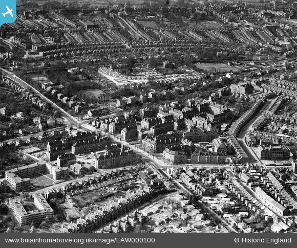
EAW000100 ENGLAND (1946). Blocks of flats off Atkins Road and environs, Clapham Park, 1946
© Copyright OpenStreetMap contributors and licensed by the OpenStreetMap Foundation. 2024. Cartography is licensed as CC BY-SA.
Nearby Images (8)
EAW000100

EAW030128

EAW000102

EAW000103

EAW000101

EAW000099

EAW000104

EAW000105

Details
| Title | [EAW000100] Blocks of flats off Atkins Road and environs, Clapham Park, 1946 |
| Reference | EAW000100 |
| Date | 4-April-1946 |
| Link | |
| Place name | CLAPHAM PARK |
| Parish | |
| District | |
| Country | ENGLAND |
| Easting / Northing | 529963, 173856 |
| Longitude / Latitude | -0.12954118537701, 51.448267860791 |
| National Grid Reference | TQ300739 |
