
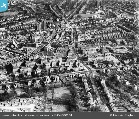
EAW000101 ENGLAND (1946). Blocks of flats off Atkins Road and environs, Clapham Park, 1946
© Copyright OpenStreetMap contributors and licensed by the OpenStreetMap Foundation. 2024. Cartography is licensed as CC BY-SA.
Nearby Images (8)
EAW000101

EAW000102

EAW000103

EAW000099

EAW030128

EAW000100

EAW000104

EAW000105

Details
| Title | [EAW000101] Blocks of flats off Atkins Road and environs, Clapham Park, 1946 |
| Reference | EAW000101 |
| Date | 4-April-1946 |
| Link | |
| Place name | CLAPHAM PARK |
| Parish | |
| District | |
| Country | ENGLAND |
| Easting / Northing | 529998, 173745 |
| Longitude / Latitude | -0.12907853237775, 51.447262181151 |
| National Grid Reference | TQ300737 |
Pins
 Post-war prefabs |
Tuesday 26th of March 2024 02:10:34 PM | |
taxiphil |
Thursday 26th of May 2016 07:07:44 PM | |
taxiphil |
Thursday 26th of May 2016 07:07:07 PM | |
taxiphil |
Thursday 26th of May 2016 07:06:12 PM | |
taxiphil |
Thursday 26th of May 2016 07:05:28 PM | |
brianbeckett |
Thursday 18th of September 2014 11:08:41 AM | |
brianbeckett |
Thursday 18th of September 2014 09:14:35 AM | |
brianbeckett |
Thursday 18th of September 2014 08:50:16 AM | |
brianbeckett |
Thursday 18th of September 2014 08:49:46 AM |