
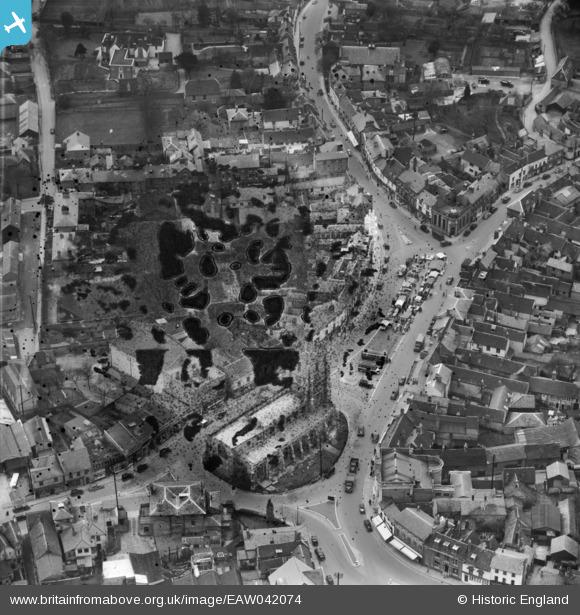
EAW042074 ENGLAND (1952). St Peter's Church and Market Hill, Sudbury, 1952. This image has been produced from a damaged negative.
© Copyright OpenStreetMap contributors and licensed by the OpenStreetMap Foundation. 2024. Cartography is licensed as CC BY-SA.
Nearby Images (18)
EAW042074

EPW025900

EPW025896

EPW001737

EPW001739

EAW029736

EAW029735

EPW025895

EAW042077

EAW042078

EAW042076

EAW042075

EAW042080

EAW042085

EAW042079

EAW042084

EAW042081

EAW042083

Details
| Title | [EAW042074] St Peter's Church and Market Hill, Sudbury, 1952. This image has been produced from a damaged negative. |
| Reference | EAW042074 |
| Date | 27-March-1952 |
| Link | |
| Place name | SUDBURY |
| Parish | SUDBURY |
| District | |
| Country | ENGLAND |
| Easting / Northing | 587399, 241267 |
| Longitude / Latitude | 0.73255993470645, 52.037665144036 |
| National Grid Reference | TL874413 |
Pins
Be the first to add a comment to this image!


