
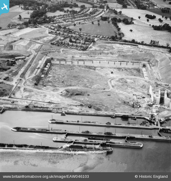
EAW046103 ENGLAND (1952). Construction of the Queen Elizabeth II Dock, Eastham, 1952
© Copyright OpenStreetMap contributors and licensed by the OpenStreetMap Foundation. 2024. Cartography is licensed as CC BY-SA.
Nearby Images (7)
EAW046103

EAW046099

EAW046102

EPW027829

EPW027870

EAW015936

EAW015935

Details
| Title | [EAW046103] Construction of the Queen Elizabeth II Dock, Eastham, 1952 |
| Reference | EAW046103 |
| Date | 25-August-1952 |
| Link | |
| Place name | EASTHAM |
| Parish | |
| District | |
| Country | ENGLAND |
| Easting / Northing | 336793, 380862 |
| Longitude / Latitude | -2.9489848864257, 53.320635044331 |
| National Grid Reference | SJ368809 |
Pins
Be the first to add a comment to this image!