
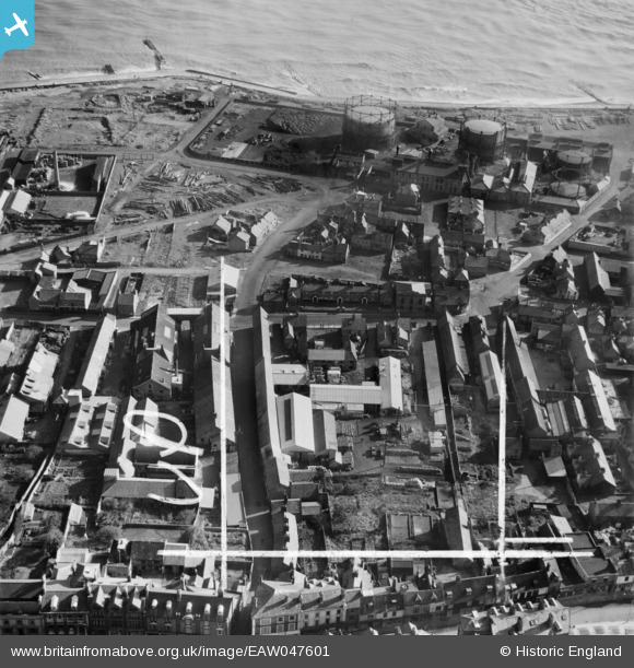
EAW047601 ENGLAND (1952). Rant Score and environs, Lowestoft, 1952. This image was marked by Aerofilms Ltd for photo editing.
© Copyright OpenStreetMap contributors and licensed by the OpenStreetMap Foundation. 2024. Cartography is licensed as CC BY-SA.
Nearby Images (17)
EAW047601

EAW047598

EAW047605

EAW047600

EAW047599

EAW047603

EAW047606

EAW047607

EAW047604

EAW047602

EPW060826

EPW060829

EPW060824

EPW060823

EPW060827

EPW060825

EPW060828

Details
| Title | [EAW047601] Rant Score and environs, Lowestoft, 1952. This image was marked by Aerofilms Ltd for photo editing. |
| Reference | EAW047601 |
| Date | 23-October-1952 |
| Link | |
| Place name | LOWESTOFT |
| Parish | |
| District | |
| Country | ENGLAND |
| Easting / Northing | 655293, 293636 |
| Longitude / Latitude | 1.7601657581472, 52.480443648777 |
| National Grid Reference | TM553936 |
Pins
Be the first to add a comment to this image!